Quick answer
Sorata is a small town in La Paz department, Bolivia, at about 2,700 m (8,860 ft), 140-150 km and roughly 3.5 to 4 hours by minibus from La Paz. It sits below Illampu and Ancohuma, two peaks over 6,300 m, and is the base for the Laguna Chillata hike (about 4,200 m), the two- to three-day Laguna Glaciar trek (5,038 m) and the San Pedro cave. Plan at least two nights.
On this page
- Where is Sorata, Bolivia?
- Sorata altitude: lower than La Paz, but the hikes are not
- How to get from La Paz to Sorata
- Hiking from Sorata: Laguna Chillata, Laguna Glaciar and the Illampu Circuit
- No time for Sorata? Glacier lakes on a day trip from La Paz
- Things to do in Sorata town
- Sorata weather and the best time to go
- Where to stay in Sorata
- Costs, cash and safety
- Where to go next
- Frequently asked questions
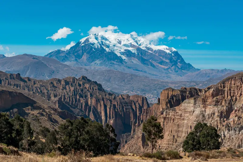
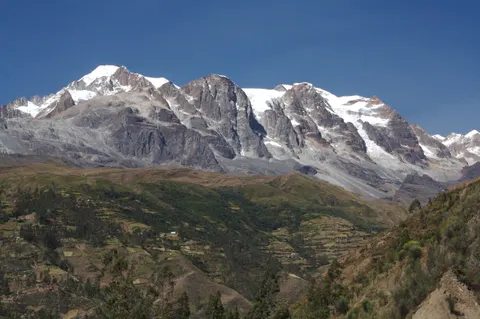
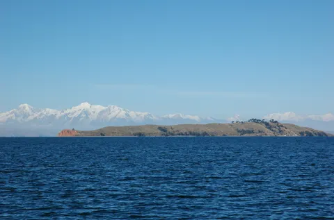
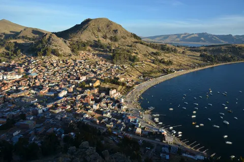
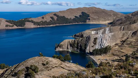
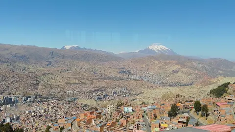
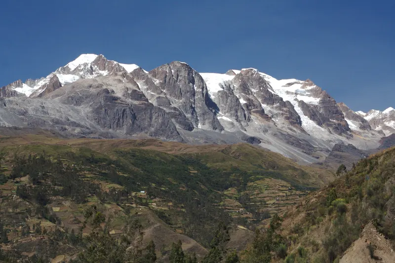
Sorata sits in a steep, terraced valley in La Paz department, Bolivia, about 940 m (3,100 ft) lower than central La Paz and some 12 km from the summits of Illampu and Ancohuma. It is the capital of Larecaja province and the trailhead town for the northern Cordillera Real. From here you can hike a long day up to Laguna Chillata, spend two or three days reaching Laguna Glaciar at 5,038 m, or take about a week to walk around Illampu. Give Sorata two nights for the town and the San Pedro cave, and four or five if you add the Glaciar.
- Altitude
- about 2,700 m (8,860 ft)
- From La Paz
- 140-150 km · 3.5-4 h
- Buses from
- Cementerio area or Río Seco (El Alto)
- Top hikes
- Chillata ~4,200 m · Glaciar 5,038 m
- Dry season
- May to October
Where is Sorata, Bolivia?
Sorata lies 140-150 km by road northwest of La Paz and east of Lake Titicaca. Its river, the San Cristóbal, runs off Illampu and down into the Beni basin, on the Amazon side of the Andes. The 2024 census counted 30,083 people in the municipality, according to Spanish Wikipedia, but fewer than 3,000 live in town. In colonial times Sorata traded gold from the lowland fields of Tipuani and Mapiri, and the old Camino del Oro (Gold Trail) still heads that way.
| From the plaza (OpenStreetMap, Sept 2026) | Distance | How | Altitude |
|---|---|---|---|
| Bus terminal | ~300 m | Walk | ~2,690 m |
| Hanging bridge, Río San Cristóbal | 1.4-1.5 km | Walk, ~25 min down | ~2,570 m |
| Mirador Ulluntija | ~2 km, straight line | Walk or taxi | not verified |
| San Pedro cave | ~10 km by road | Taxi ~30 min, or 2.5-3.5 h on foot | ~2,380 m |
| Laguna Chillata | ~13 km by trail | Long day or overnight | ~4,200 m |
| Laguna Glaciar | ~18 km by trail | 2-3 days with a guide | 5,038 m |
| Illampu / Ancohuma summits | ~12 km, straight line | Mountaineering expedition | 6,368 / 6,427 m |
| La Paz (Cementerio General) | ~140 km | Bus, 3.5-4 h | ~3,640 m (center) |
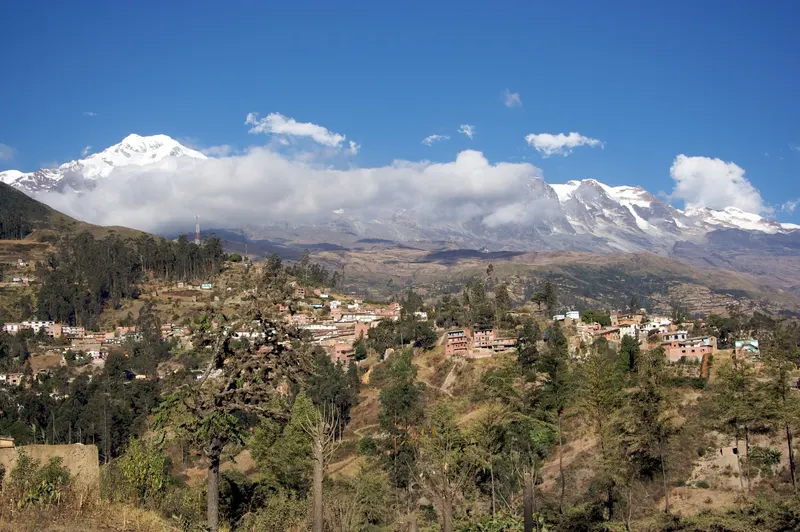
Illampu, Ancohuma and “Mount Sorata”
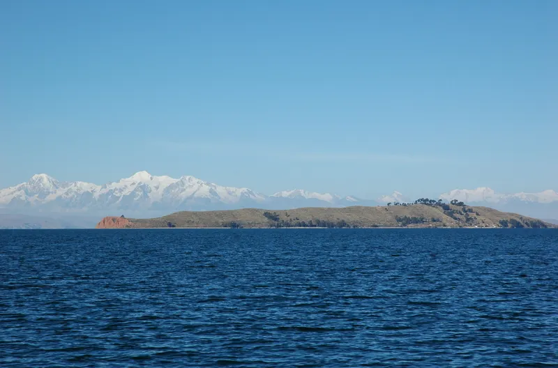
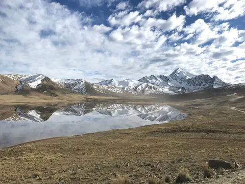
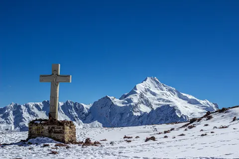
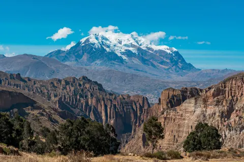
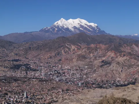
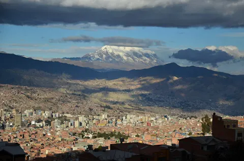
The ice wall above town belongs to two peaks about 12 km east-southeast of the plaza. Ancohuma (6,427 m, 21,086 ft) is Bolivia’s third-highest mountain, after Sajama and Illimani. Illampu (6,368 m, 20,892 ft) has what English Wikipedia calls the hardest normal route on any Bolivian 6,000 m peak, graded AD with snow slopes up to 65°. Old dictionaries call the pair “Mount Sorata” and give outdated heights of 6,550 m and 6,485 m. For a first 6,000 m summit, Huayna Potosí is the less technical choice.
The name and the 1781 siege
The municipality derives the name from the Aymara Shuru-Ahta, “shining peak”, for Illampu’s snow. In 1781, during the indigenous rebellion that Túpac Katari led around La Paz, forces under Andrés Túpac Amaru and Gregoria Apaza surrounded Spanish-held Sorata from May 4. They dammed a stream above town and on August 5 released the water, which broke through the defenses. Spanish Wikipedia says only the women, children and priests sheltering in the church survived, and the captured weapons went to Túpac Katari’s siege of La Paz.
Sorata altitude: lower than La Paz, but the hikes are not
The town sits at about 2,700 m (8,860 ft); English Wikipedia gives 2,678 m and satellite data 2,694 m at the plaza. The 3,800 m in Google’s AI summary (September 2026) matches the whole municipality’s average altitude in Spanish Wikipedia’s infobox, not the town.
That puts Sorata only 250 m above the 2,450 m (8,000 ft) sleeping altitude where the CDC says altitude-sickness risk begins, and 940 m below central La Paz, so it’s a good place to sleep low. The treks break the CDC’s pacing rule. Above 3,000 m it advises raising your sleeping altitude by no more than 500 m (1,640 ft) a night, yet Chillata sits 1,500 m above Sorata and the Glaciar camp another 840 m higher. The bus also crosses a pass of about 4,200 m (13,800 ft); if you landed yesterday and feel rough, wait a day. Our La Paz altitude sickness guide covers symptoms and what helps.
How to get from La Paz to Sorata
Minibuses (shared vans that go when full) and buses depart from around the Cementerio General, La Paz’s main cemetery, and from Río Seco in El Alto, and take 3.5 to 4 hours. Sources name different streets, so ask for the “salidas a Sorata”.
| Option | Time | Price (as of Sept 2026) | Watch out |
|---|---|---|---|
| Minibus or bus from the Cementerio area or Río Seco | 3.5-4 h | About $2.10-3.30 (Bs 25-40), an August 2026 fare from before the diesel rise | Sources disagree on the last departure (3 p.m. or 6-7 p.m.), so leave in the morning |
| From Copacabana or Peru, skipping La Paz | Huarina is ~2 h from La Paz | Not verified | Wikivoyage’s route: a La Paz-bound bus to Huarina, then flag down a Sorata bus; start early |
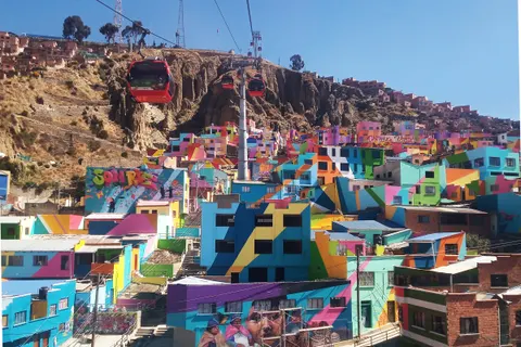
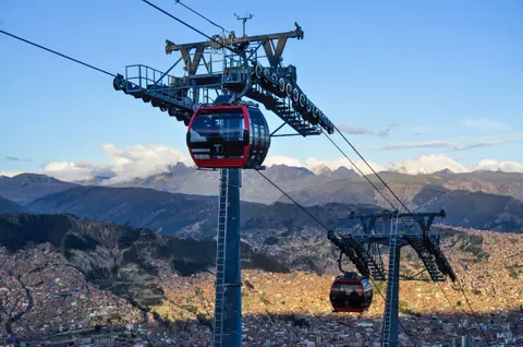
The Red Line of the La Paz cable car stops at Cementerio and the Blue Line ends at Río Seco (Bs 3, about $0.25, plus Bs 2 per transfer). Get there by cable car or radio taxi, and go by day. The UK Foreign Office reports express kidnappings by criminal taxis around the Cementerio General, and Canada warns of petty crime at the terminal there.
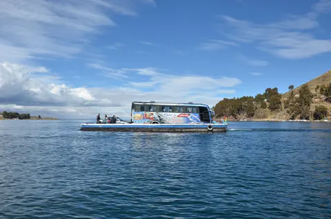
From El Alto the road runs across the Altiplano to Huarina on Lake Titicaca and on through Achacachi, then climbs to about 4,200 m before dropping some 1,500 m into the valley. Keep a warm layer handy. Wikivoyage says return buses leave from the entrance to town rather than the plaza, so check when you arrive. Buy your ticket a day early on long weekends (the next is October 31 to November 2, 2026) and around the September 14 fiesta.
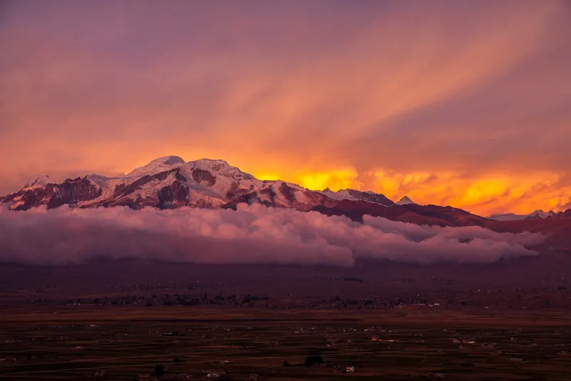
Check the road first (as of September 2026)
The Sorata road shares the La Paz-Copacabana highway as far as Huarina, and blockades closed that stretch for about 51 days in May and June 2026. We found no report on the Achacachi-Sorata section itself. A state of exception that lets police and the army clear roadblocks runs to about mid-December 2026. The government freed the diesel price on September 18 (Bs 9.80 to 17.95 a liter), and a 24-hour transport strike followed on September 28, though interprovincial buses kept running. Check the ABC road-status map (it may only load inside Bolivia), ask at the departure point, and read our guide to whether La Paz is safe right now.
Hiking from Sorata: Laguna Chillata, Laguna Glaciar and the Illampu Circuit
The municipality bills Sorata as Bolivia’s “capital del trekking”. Viator sells none of these treks (September 2026), so you arrange guides and mules in town. Go in the dry season, May to September.
| Route | Days | One way | High point | Guide? |
|---|---|---|---|---|
| Laguna Chillata | 1 long day or 2 | ~13 km | ~4,200 m | Recommended; possible without one if you carry a good map |
| Laguna Glaciar | 2-3 (up to 4) | ~18 km | 5,038 m | Yes |
| Illampu Circuit | 5-7 | not verified | not verified | Yes |
| Camino del Oro to Mapiri | ~7 | not verified | not verified | Yes |
Laguna Chillata
Chillata is a glacial lake at about 4,200 m (13,800 ft), 13 km by trail and 1,500 m above the plaza. Wikivoyage splits the walk into three stages: 6-7 km to the community of Pampa Colani (about 1.5 hours), then 4 km and 500 m up to a dry riverbed, then 2.7 km and 600 m to the lake, about 1 hour 15 minutes each. A taxi to Pampa Colani (Bs 30-40 in 2022) skips the first stage and makes it a long day trip. Wikivoyage says you can go without a guide if you have a decent map; bolivianlife.com strongly recommends one, and so would we on a first visit. If you camp, the municipality puts night lows at −15 °C (5 °F).
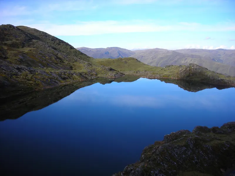
Laguna Glaciar
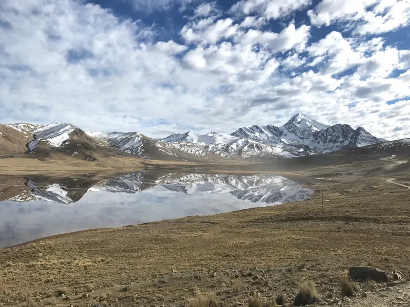
Laguna Glaciar lies at 5,038 m (16,530 ft) on the approach to Ancohuma. The lake measures about 780 by 360 m and ends against a glacier front some 30 m high. Wikivoyage’s GPS track runs 18 km with 2,360 m of climbing, first along the Chillata trail, and the same page warns that side trails split off on the way down and that hikers have been lost and needed rescue. Plan 2 to 3 days, with a night at Chillata on the way up. The municipality gives temperatures of −22 to −2 °C (−8 to 28 °F) at the lake. We’d hire a guide and a mule for this one.
Illampu Circuit and the Gold Trail
The Illampu Circuit loops around the massif in 5 to 7 days. The Camino del Oro takes about 7 days down toward Mapiri, a lowland municipality where Bolivia’s Ministry of Health recorded yellow fever cases between 2012 and 2025, so ask a travel doctor about the vaccine (see our Bolivia entry and health requirements). Climbing Illampu itself is a 7- to 9-day expedition from La Paz, per the municipality.
Hiring a guide in Sorata: what it costs
Wikivoyage recommends hiring in Sorata rather than La Paz, so the money reaches local guides, and places the Sorata Guide Association office near the plaza’s northeast corner. We found no 2026 phone number, so sort it out in person on your first afternoon. bolivianlife.com’s August 2026 rates are Bs 200-350 ($17-29) a day for a Spanish-speaking guide, more for English, and Bs 150-250 ($12.50-21) for a mule and its arriero (muleteer). A 4WD to a trailhead cost about Bs 200 ($17) one way in 2018; expect more after the diesel rise. Pay in cash, and check rented tents and sleeping bags before you take them.
Acclimatize before you go up
Spend several nights in La Paz first (bolivianlife.com suggests at least three above 3,500 m before the Glaciar), sleep at Chillata before going higher, and turn back if a headache, nausea or breathlessness at rest gets worse. Ask a travel doctor about medication.
No time for Sorata? Glacier lakes on a day trip from La Paz
Viator sold no Sorata trip, but these three leave from La Paz for the same Cordillera Real. On the private Charquini day (from about $55) you walk about an hour to Laguna Esmeralda, at 5,024 m almost the height of Laguna Glaciar; lunch, water and the Charquini entry cost extra. The Ventanani glacier hike is a private 11-hour day for up to three people from about $185. For a summit, the three-day Huayna Potosí climb (6,088 m) from about $327 includes gear and two refuge nights but not the Bs 20 ticket, water or a sleeping bag.
Cordillera Real from La Paz, without the trip to Sorata
Book on Viator From $55Full day Tour Charquini and Laguna EsmeraldaFree cancellationCheck availability
 From $185Ventanani Glacier Hike, Cordillera Real, Private Tour from La PazFree cancellationCheck availability
 From $327Huayna Potosí (3 days)Free cancellationCheck availability
Prices in US$ per person from Viator as of Sep 30, 2026. They change; you see the final price before paying.
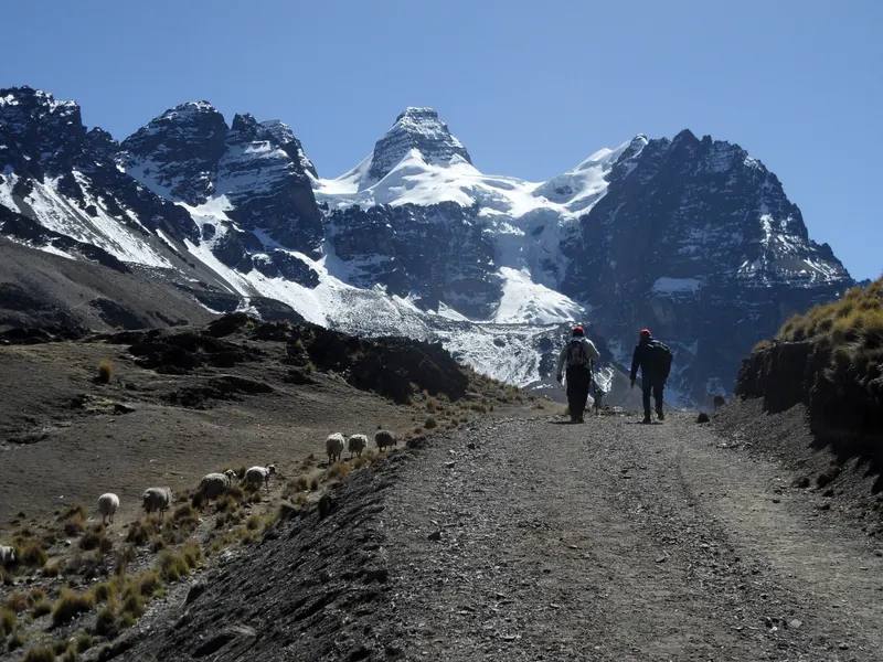
More options are in our day trips from La Paz, including Chacaltaya.
Things to do in Sorata town
San Pedro cave (Gruta de San Pedro)
The cave lies about 10 km from town by road and 300 m lower, in the community of San Pedro. The municipality calls it Chussek Uta (“house of owls” in Aymara) and measures 510 m of passages with a 49 m drop. After a narrow first 15-20 m it opens into a lit chamber with a lake 10-15 m deep and rowboats for hire. Wikivoyage says swimming is no longer permitted and lists daily hours of 9 a.m. to 5 p.m. Sources from 2018-2021 put the entry at Bs 10-20 (under $2) plus Bs 5 for the boat, so carry small notes.
Walk one way
Walking takes 2.5 to 3.5 hours each way on a dusty road shared with traffic, and the way back climbs 300 m. Walk down to the cave and take a taxi back (Bs 30-40 in 2018-2021 reports).
The hanging bridge and the viewpoints
A footbridge hangs over the Río San Cristóbal 1.4 km from town, about 25 minutes’ walk by the municipality’s estimate. It sits 125 m below the plaza, so the return is uphill. From the Mirador Ulluntija, about 2 km west of the plaza as the crow flies, you look across the San Cristóbal valley to Illampu; dance groups stop at its Corazón de Jesús on their way into town for the September fiesta. The Mirador Wilakollo is about 7 km out.
The plaza, food and the September fiesta
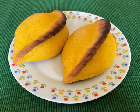
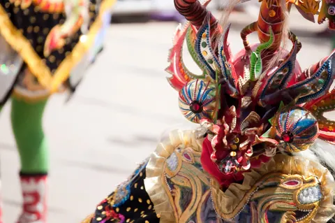
The main square, Plaza General Enrique Peñaranda, has a statue of Bolivia’s president from 1940 to 1943, who was born at Chuchulaya, in today’s Sorata municipality. The biggest fiesta, for the Señor de la Columna, falls on September 14 (next in 2027); book a bed well ahead. The valley grows chirimoya (custard apple), papaya and avocado. Look for chirimoya pastries and sajta sorateña (sajta is chicken stewed with yellow chili), though we couldn’t confirm which restaurants are open in 2026.
What we'd skip
- Sorata as a day trip from La Paz: 7 to 8 hours on the bus for 2 or 3 hours in town.
- Walking to the cave and back on the same dusty road.
- Heading for Laguna Glaciar the day after you arrive from sea level.
Sorata weather and the best time to go
SENAMHI data for Sorata’s station (2,647 m), via English Wikipedia, give average highs of 20-23 °C (68-73 °F) and lows of 7-10 °C (44-51 °F) in every month, and about 850 mm (33 in) of rain a year, three-quarters of it from November to March. Spanish Wikipedia’s 17 °C annual mean runs warmer than the roughly 15 °C these figures give.
| Month | Avg high °C (°F) | Avg low °C (°F) | Rain (mm) |
|---|---|---|---|
| Jan | 21.3 (70) | 10.1 (50) | 178 |
| Feb | 20.8 (69) | 10.3 (51) | 161 |
| Mar | 21.1 (70) | 9.8 (50) | 142 |
| Apr | 21.4 (71) | 9.2 (49) | 53 |
| May | 20.9 (70) | 8.0 (46) | 19 |
| Jun | 20.4 (69) | 7.0 (45) | 8 |
| Jul | 20.1 (68) | 6.7 (44) | 6 |
| Aug | 21.3 (70) | 7.8 (46) | 15 |
| Sep | 22.2 (72) | 8.7 (48) | 34 |
| Oct | 23.0 (73) | 9.4 (49) | 54 |
| Nov | 22.9 (73) | 9.9 (50) | 64 |
| Dec | 22.2 (72) | 9.9 (50) | 117 |
May to October
Dry seasonDays of 20-23 °C, nights of 7-9 °C in town and hard frost at the lakes. Wikivoyage says August and September are the busiest months for foreign hikers.
Verdict: the time to go, especially May to September.
November to April
Rainy seasonJanuary brings about 20 rainy days, and Canada’s travel advice warns of landslides and blocked roads from November to March.
Verdict: fine for the town and the cave, a poor bet for the lakes.
For a forecast, check SENAMHI, Bolivia’s weather service. See also the best time to visit Bolivia and our La Paz weather guide.
Where to stay in Sorata
Little of Sorata’s lodging sells online. On September 30, 2026, Booking listed one property and Hostelworld’s Sorata page returned an error, so expect to book by phone or WhatsApp, or to walk in. bolivianlife.com puts basic rooms at Bs 60-150 ($5-12.50) a night (August 2026). The town sits on a slope, and anything below the plaza means an uphill walk back.
El Encanto Sorata
Best for: Booking online, with parking included
The only Sorata property listed on Booking as of September 30, 2026, with free private parking and a private bathroom with shower. It doesn't publish rates on its own site, so check the price and location before you book. Sorata is built on a slope, so ask how far it is from the bus stop.
- Bookable online
- Free private parking
- Private bathroom with shower
Hotel Toro Bravo
Best for: Families and groups who want a pool
On Avenida Samuel Tejerina at the entrance to Sorata, about a 10-minute, mostly level walk from the plaza. It has a pool and breakfast, and La Paz agencies use it for their two-day packages. Rates aren't published online, so ask through its Facebook page or check Expedia, and book early for the September 14 fiesta.
- Pool
- Breakfast
- Wi-Fi for guests
Hostal Las Piedras
Best for: Hikers after a simple guesthouse
A small bed-and-breakfast-style guesthouse north of the plaza that guides such as Wikivoyage have listed for years. It sits a little below the plaza, so the walk back is uphill. We found no current rates online, so confirm price and availability before you go.
- About 400 m from the plaza
- Bed-and-breakfast style
Price band for a double room in the dry season. Confirm rates and dates on Expedia.
For a pool and a level walk to the plaza we’d pick Hotel Toro Bravo. El Encanto Sorata is the one you can book online, and Hostal Las Piedras suits hikers. Older guides also list Altai Oasis and Residencial Sorata; we couldn’t confirm either is open in 2026. Compare Sorata stays on Expedia, and for the nights either side, see our La Paz hotels guide.
Costs, cash and safety
| Item | US$ | Bs | Source date |
|---|---|---|---|
| Minibus La Paz-Sorata, one way | ~2.10-3.30 | 25-40 | Aug 2026, before the diesel rise |
| Basic room, per night | ~5-12.50 | 60-150 | Aug 2026 |
| Local trekking guide, per day | ~17-29 | 200-350 | Aug 2026 |
| Mule with arriero, per day | ~12.50-21 | 150-250 | Aug 2026 |
| Taxi to the cave or to Pampa Colani, one way | ~2.50-3.30 | 30-40 | 2018-2022 |
| Cave entry + boat | ~0.80-1.70 + 0.40 | 10-20 + 5 | 2018-2021 |
Dollar figures use the September 30, 2026 rate of Bs 12.02 per US dollar. Expect transport to cost more after the diesel rise, and pay almost everything in cash.
OpenStreetMap shows one bank on the plaza and no ATM (September 2026), so bring enough bolivianos from La Paz; our Bolivia currency guide explains the floating exchange rate. In an emergency, call 110 for police or 118 for an ambulance. We couldn’t confirm a clinic in town, one more reason to hike with a guide. More in our La Paz travel tips.
Where to go next
The bus back toward La Paz passes Huarina, where you can change for Copacabana and Lake Titicaca without going into the city. For another low, warm stop, Coroico in the Yungas sits about 950 m below Sorata, and our Bolivia itinerary shows where a Sorata detour fits in a longer route.
Frequently asked questions
What does Sorata mean?
According to the municipality, the name comes from the Aymara Shuru-Ahta, "shining peak", a reference to the snow on Illampu above town. English Wikipedia gives the Aymara form as Surat'a. Older English dictionaries also list "Mount Sorata", the former name for the Illampu-Ancohuma massif, with survey heights of 6,485 m and 6,550 m that current measurements put at 6,368 m and 6,427 m.
How do you get from La Paz to Sorata?
Minibuses and buses leave from the streets around the Cementerio General in La Paz and from Río Seco in El Alto, and take 3.5 to 4 hours. The fare was Bs 25-40 (about $2.10-3.30) in August 2026, before the diesel price rise, so confirm it at the window. The Red Line cable car stops at Cementerio and the Blue Line ends at Río Seco. Leave in the morning.
What is the altitude of Sorata?
About 2,700 m (8,860 ft). English Wikipedia and Google's knowledge panel give 2,678 m, and satellite elevation data puts the plaza at 2,694 m. The 3,800 m figure in some search results matches the average altitude of the whole municipality in Spanish Wikipedia's infobox, not the town. Sorata sits about 940 m below central La Paz.
Is Sorata worth visiting?
Yes, for two nights or more if you hike or want a lower, warmer base after La Paz. As a day trip it isn't worth it, since 7 to 8 hours on the bus leaves you 2 or 3 hours in town. Between November and March, rain and landslides make Laguna Chillata and Laguna Glaciar a poor bet, though the town and the San Pedro cave still work.
Do you need a guide for Laguna Glaciar?
We'd hire one. The route climbs about 2,360 m over 18 km to 5,038 m, and Wikivoyage warns that side trails split off on the way down and that hikers have been lost and needed rescue. Local guides cost about Bs 200-350 ($17-29) a day as of August 2026, more for English speakers. Acclimatize first; bolivianlife.com advises at least three nights above 3,500 m before this trek.
Is it safe to travel to Sorata right now?
As of September 2026 the US rates Bolivia Level 2 (exercise increased caution), and the UK advises against travel only to the Chapare region, far from Sorata. Roads are the bigger risk. Blockades closed the shared La Paz-Huarina stretch for about 51 days in May and June 2026, and a state of exception runs to about mid-December. In La Paz, reach the bus by radio taxi or cable car.
Are there ATMs in Sorata?
OpenStreetMap shows one bank on the plaza and no ATM (September 2026), and we couldn't confirm a machine that takes foreign cards. Bring enough bolivianos from La Paz for your room, guide, mule and the cave fee. Canada's travel advice notes that cards aren't widely accepted outside cities, so carry small notes.
How long is the Illampu Circuit?
Five to seven days, depending on the source: bolivianlife.com says 5-7 and Wikivoyage 6-7. It loops around the Illampu massif from Sorata and needs a guide, a mule and full camping gear. Go in the dry season, May to September, and arrange guides and mules in Sorata. Illampu itself is a separate expedition of 7-9 days from La Paz.
Keep planning