



Quick answer
Central La Paz, Bolivia sits at about 3,640 m (11,942 ft) above sea level; many sources round it to 3,650 m. You land higher, at El Alto airport (4,061 m / 13,325 ft), while the Zona Sur neighborhoods drop to about 3,250-3,400 m. The CDC rates flying straight in above 3,400 m as high risk, with altitude sickness rates approaching 50%. Sleep low the first night, rest for 48 hours and skip alcohol.
On this page
- How high is La Paz, Bolivia? Altitude in meters and feet
- Will you get altitude sickness in La Paz?
- A day-by-day acclimatization plan for La Paz
- Sleep lower: Zona Sur and beyond
- What helps: Diamox, ibuprofen, coca tea and oxygen
- Your first 48 hours: food, water and sleep
- Going higher: Chacaltaya, the Death Road, Uyuni and Huayna Potosí
- 2026 conditions: blockades, oxygen and insurance
- Frequently asked questions
This guide covers La Paz, Bolivia, the Andean seat of government. (La Paz in Baja California Sur, Mexico, is a beach town at sea level.) You’ll land at 4,061 m and sleep somewhere between 3,280 and 3,650 m, depending on the neighborhood you book. This page gives the height of each one, a day-by-day plan built on CDC rules, and the signs that mean go downhill. Figures checked September 2026; drug doses are your doctor’s call.
- Central La Paz
- about 3,640 m (11,942 ft)
- El Alto airport
- 4,061 m (13,325 ft)
- Zona Sur
- 3,250-3,400 m (10,660-11,150 ft)
- El Alto city
- about 4,150 m (13,615 ft)
- CDC risk flying in
- High
How high is La Paz, Bolivia? Altitude in meters and feet
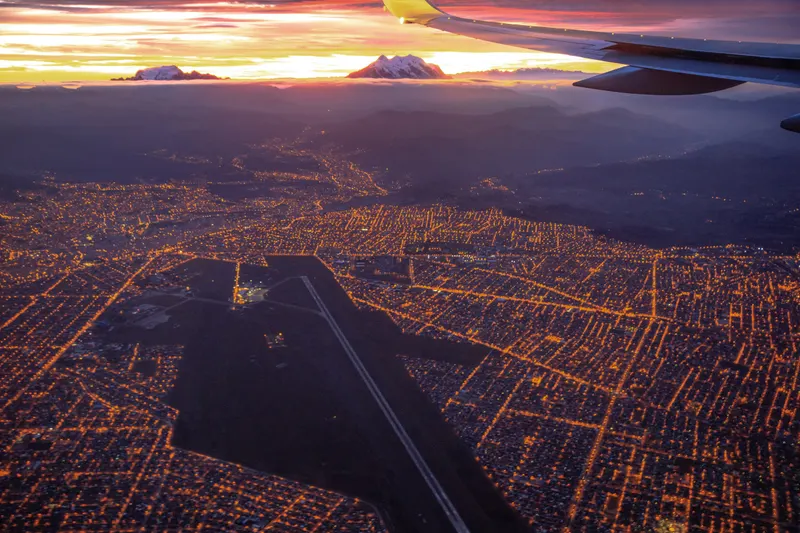
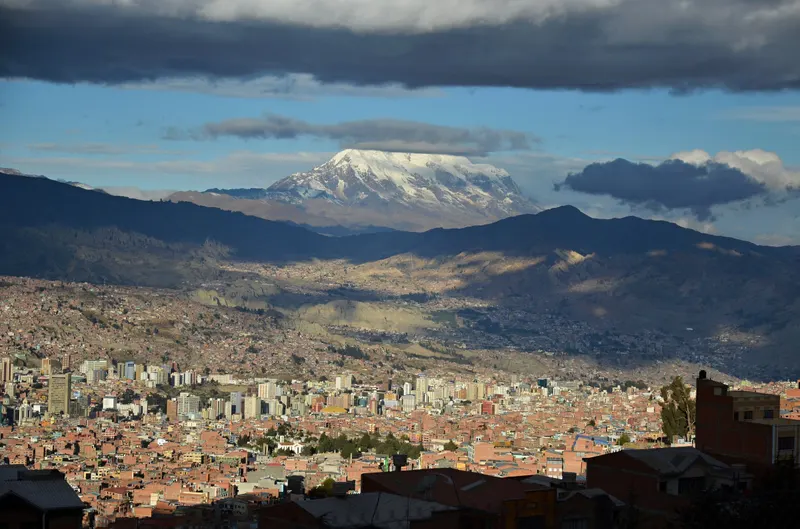
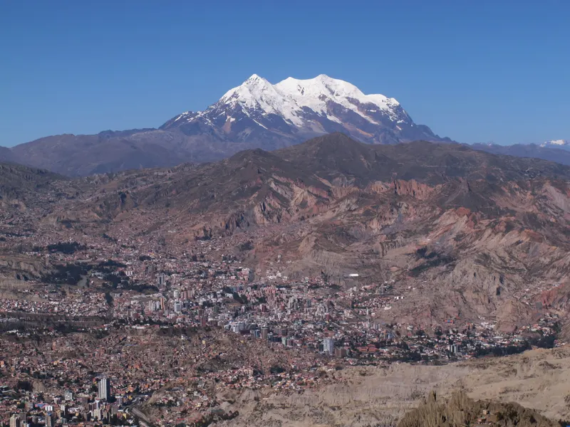
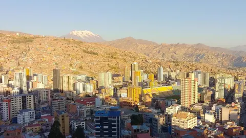
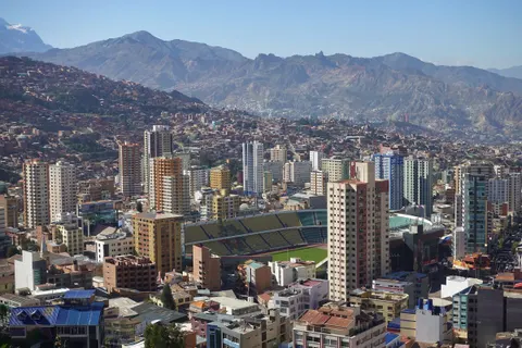
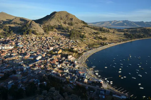
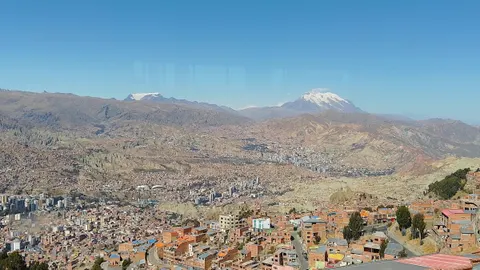
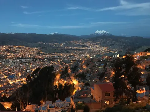
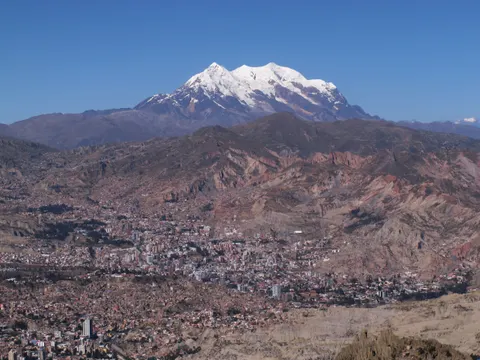
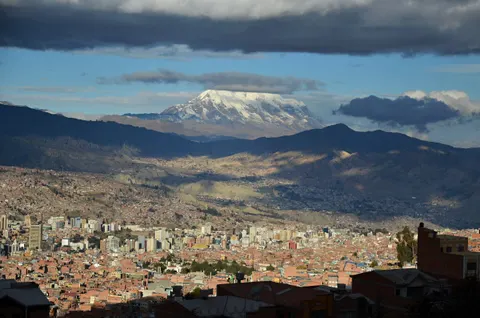
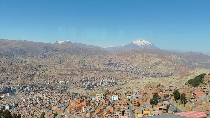
Central La Paz sits at about 3,640 m (11,942 ft), the figure in Canada’s travel advice; the CDC and Wikipedia say 3,650 m (11,975 ft). Our check of three elevation models puts Plaza Murillo, the main square, at 3,645-3,650 m, so both hold up. Either way it’s more than twice the height of Denver (5,280 ft). The city fills a canyon the Choqueyapu River cut into the Altiplano, running from over 4,000 m on the rim to about 3,250 m in Zona Sur (La Paz weather and geography).
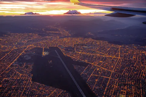
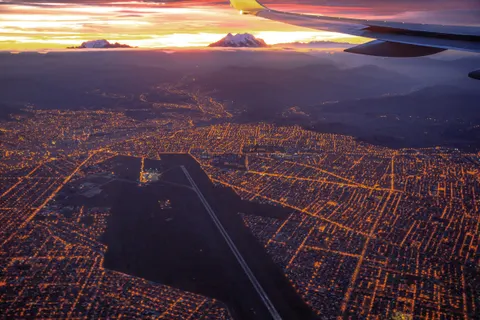
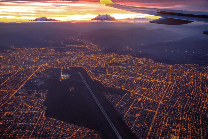
You land higher. El Alto International Airport (LPB), 13 km west of the center, sits at 4,061.5 m (13,325 ft), the world’s highest international airport according to Wikipedia. The “4,058 m” some blogs give for La Paz is the airport’s weather station. See getting from El Alto airport to your hotel.
Air pressure in La Paz is about 500 mmHg against 760 at sea level (Journal of Applied Physiology, 1988). The air is still about 21% oxygen, but at that pressure each breath delivers roughly a third less of it, which is why hotel stairs feel like a hike.
La Paz altitude by neighborhood
The CDC rates first-night risk partly by sleeping altitude: low under 2,750 m, medium 2,750-3,400 m, high above 3,400 m (for travelers starting below 1,200 m). Your history with altitude and how fast you climb also count, so read the band as one input among three.
| Area | Altitude | CDC first-night band |
|---|---|---|
| El Alto, Plaza Ballivián | ~4,100 m (13,450 ft) | High |
| El Alto airport (LPB) | 4,061 m (13,325 ft) | You only pass through |
| Mirador Killi Killi (viewpoint) | ~3,690 m (12,110 ft) | Visit, don’t sleep |
| Plaza Murillo, historic center | ~3,650 m (11,975 ft) | High |
| San Francisco, Miraflores | ~3,630 m (11,910 ft) | High |
| Prado, Plaza del Estudiante | ~3,600 m (11,810 ft) | High |
| Sopocachi, Plaza Abaroa | ~3,550 m (11,650 ft) | High |
| Cota Cota | ~3,410 m (11,190 ft) | High, barely |
| Achumani | ~3,380 m (11,090 ft) | Medium |
| Irpavi | ~3,350 m (10,990 ft) | Medium |
| Obrajes | ~3,330 m (10,930 ft) | Medium |
| Calacoto | ~3,290 m (10,790 ft) | Medium |
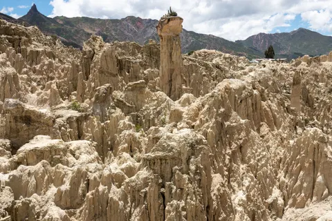
| Mallasa, Valley of the Moon | ~3,280-3,300 m (10,760-10,830 ft) | Medium |
Our estimates from SRTM, ASTER and Copernicus elevation data (September 2026), rounded to 10 m.
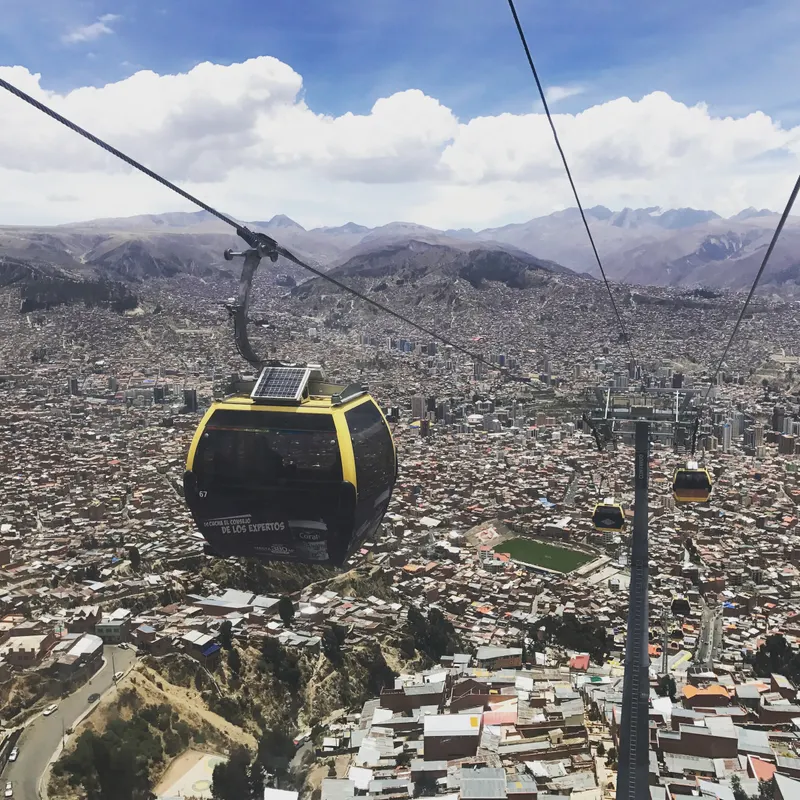
The cable car moves you 800 m up and down
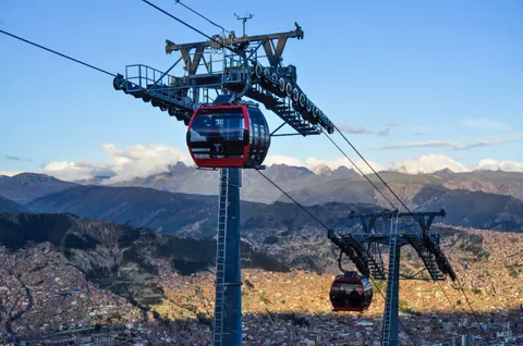
By our estimates, Mi Teleférico’s Red Line lifts you about 400 m in 11 minutes, from Central (~3,710 m) to 16 de Julio in El Alto (~4,110 m). The Yellow Line drops about 650 m from Mirador (~4,070 m) to Libertador (~3,420 m), and the Green Line continues to Irpavi in Zona Sur (~3,280 m). Fares and lines are in how Mi Teleférico works. The CDC calls day trips with an evening return lower “much less stressful on the body,” so visit El Alto from day two and sleep below it.
Is La Paz the highest city in the world?
No. La Paz is the highest seat of government of any country, and El Alto, the separate city on the rim above it, sits higher still at about 4,150 m. Bolivia’s constitutional capital is Sucre (2,790 m), and Quito (2,850 m) is usually listed as the highest official capital. Wikipedia’s list of highest cities is topped by La Rinconada, a Peruvian mining town at about 5,100 m.
La Paz vs Cusco and other Bolivian cities
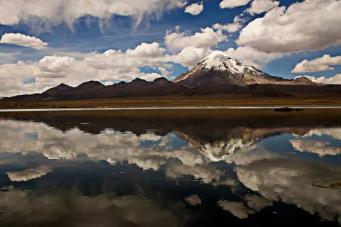
La Paz sits about 240 m above Cusco. Bolivia as a whole runs from 90 m on the Paraguay River to 6,542 m on Nevado Sajama, with the Andes and Altiplano in the west and lowlands around Santa Cruz in the east.
| Place | Altitude |
|---|---|
| El Alto | ~4,150 m (13,615 ft) |
| Potosí | 4,090 m (13,419 ft) |
| Puno, Peru | ~3,820-3,830 m (about 12,550 ft) |
| Oruro | 3,735 m (12,254 ft) |
| Uyuni | 3,656-3,700 m, sources differ (about 12,000 ft) |
| Lhasa, Tibet | 3,656 m (11,995 ft) |
| La Paz, center | ~3,640 m (11,942 ft) |
| Cusco, Peru | 3,399 m (11,152 ft) |
| Quito, Ecuador | 2,850 m (9,350 ft) |
| Sucre | 2,790-2,810 m, sources differ (about 9,200 ft) |
| Cochabamba | 2,570 m (8,432 ft) |
| Denver, Colorado | 1,609 m (5,280 ft) |
| Santa Cruz | ~400 m (1,312 ft) |
Will you get altitude sickness in La Paz?
It’s close to a coin flip. The CDC puts rates near 50% for travelers flying straight above 3,400 m, as any flight from the lowlands into La Paz does, against 25% for visitors sleeping above 2,450 m in Colorado. In a 2022 study of 142 foreign language students in Cusco, 39% had altitude sickness within 48 hours. Obesity and being female raised the odds in that group, though the CDC says sex plays “a minimal role, if any.”
The CDC says fitness doesn’t affect risk, children are as susceptible as adults, and people over 50 run slightly less. See a doctor first if you have coronary or chronic lung disease, sleep apnea or sickle cell trait. The CDC also suggests pregnant women not sleep above 3,050 m (10,000 ft), and all of La Paz is higher.
Symptoms of altitude sickness
Acute mountain sickness (AMS), called soroche in the Andes and sorojchi in Bolivia, starts with a headache. The CDC likens it to a hangover and counts it as AMS when the headache comes with at least one of these:
- Loss of appetite or nausea, sometimes vomiting
- Dizziness
- Fatigue
It starts 2-12 hours after arrival (6-10 per the NHS) and usually clears within 12-48 hours if you don’t go higher. Above about 2,700 m the CDC calls periodic breathing at night “nearly universal,” so waking briefly short of breath is common and usually harmless.
Red flags: when to go down and get help
Beyond mild soroche: act now
The CDC treats two rarer conditions as emergencies.
- HACE (brain swelling): confusion, unusual drowsiness, can’t walk a straight line.
- HAPE (fluid in the lungs): breathless at rest, a worsening cough, frothy or bloody sputum, blue lips. It can come without a headache.
Go down now. Descent is the main treatment, and El Alto to the center is about 450 m, the center to Zona Sur about 350 m. Use oxygen if you can and call 118 for an ambulance. La Paz has an altitude clinic, HAPPI-IPPA, at Av. Copacabana Prolongación #55, Bajo Miraflores, phone +591 73258026 (September 2026).
Never go higher with symptoms. If mild soroche worsens or outlasts a day of rest, the NHS says to go 300-1,000 m lower, and the CDC says 300 m of descent brings rapid improvement. In El Alto, that means heading down into La Paz. Canada warns some air ambulances can’t fly into La Paz, so get insurance with medical evacuation. More in is La Paz safe? and our La Paz travel tips.
A day-by-day acclimatization plan for La Paz
The NHS advises against going from below 1,200 m to above 3,500 m in a single day and, if you have to fly in, suggests resting a day before going higher. A flight into El Alto from Lima, Santiago or Santa Cruz breaks that first rule by design, so our plan starts with rest. After that it follows the CDC: sleep low, raise your sleeping altitude no more than 500 m a night above 3,000 m, prefer day trips, and skip alcohol for 48 hours.
| Day | Sleep | Do | Skip |
|---|---|---|---|
| 0 | Zona Sur or center | Go straight down; taxis charge about US$6-12 (Bs 70-150) for the 30-50 min to the center, unmetered, so agree the fare first | El Alto, hills, alcohol |
| 1 | Same | Short flat walks; Valley of the Moon from Zona Sur | Long walks, alcohol |
| 2 | Same, or move up to the center | Historic center, slowly; cable car to El Alto and back | Sleeping in El Alto |
| 3 | Center, or Copacabana | Tiwanaku or Copacabana; Chacaltaya or the Death Road if symptom-free for a day | Going up with a headache |
| 4+ | Your choice | Uyuni tour; climbing after a practice hike | Raising your bed 500+ m a night |
Tours on days 0-2 are optional, and these three keep the effort low.
Easy first days: airport transfer and low-effort tours
Book on Viator From $28Private Transfer from El Alto Airport to La Paz, Bolivia HotelsFree cancellationCheck availability
 From $43Private City tour, Cable Car and Moon ValleyFree cancellationCheck availability
 From $10City Tour plus Cable Car La PazFree cancellationCheck availability
Prices in US$ per person from Viator as of Sep 30, 2026. They change; you see the final price before paying.
The airport transfer (from about $28 per person) has only 9 reviews. The private city tour (from about $43) rides the cable car up to El Alto, and its operator doesn’t recommend it for poor cardiovascular health. The walking tour (from about $10) has more hills; save it for day 2 or 3.
Which one is for you?
- If you fly in from the US, UK, Canada or Australia: the only international nonstops into La Paz come from South American cities (September 2026), so you’ll land at 4,061 m off a connection. Book Zona Sur and ask a travel-medicine doctor about acetazolamide.
- If you’re doing Peru first: spend a few nights in Cusco (3,399 m), then take the bus via Puno and Copacabana, which reaches La Paz downhill (Cusco to La Paz).
- If you plan to climb: allow three or four nights around La Paz and a practice hike before Huayna Potosí.
- If you travel with children: they get sick as often as adults; in toddlers, the CDC says to watch for poor appetite, irritability and pallor.
Sleep lower: Zona Sur and beyond
The CDC names La Paz and Cusco as places where travelers can sleep lower than the airport for one or two nights before heading up, which may avoid the need for medication. Here that means Zona Sur, where Calacoto, Obrajes, Irpavi and Achumani (~3,290-3,380 m) fall in the CDC’s medium band on paper.
Pros
- 250-350 m lower than the center, so a little more oxygen per breath
- Close to the Valley of the Moon
- The Green Line cable car reaches Irpavi
Cons
- Far from the historic center and many tour departures; confirm pickup
- A longer taxi ride from the airport
Our call
If you fly in from near sea level, sleep your first one or two nights in Zona Sur, then move to the center or Sopocachi to walk to the sights. If you arrive overland from Cusco or Puno, you’re already adapted, so sleep wherever suits you.
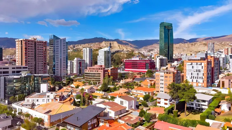
Read where to stay in La Paz, including Zona Sur, or compare La Paz hotels on Expedia. Before booking, ask whether rooms are heated (July lows average 2.8 °C/37 °F in the center, -4.1 °C/25 °F at the airport) and whether the hotel keeps oxygen. We couldn’t verify which do.
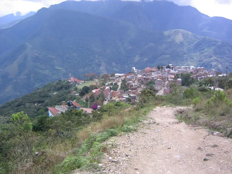
For a bigger drop, Coroico in the Yungas sits at about 1,500-1,750 m (sources disagree), 2.5-3 hours by road; check the yellow fever advice for the lower Yungas first. Save El Alto hotels for the night before an early flight.
What helps: Diamox, ibuprofen, coca tea and oxygen
Going down is the most reliable treatment. The options below prevent or ease symptoms; doses are your doctor’s call.
Acetazolamide (Diamox)
Acetazolamide has the strongest trial evidence for prevention; a 2017 Cochrane review found it roughly halved the risk against placebo. The CDC advises a low threshold for prescribing it when you fly straight into places like La Paz. Tingling fingers and toes are the common side effect. Farmacorp, Bolivia’s largest pharmacy chain, lists 250 mg tablets at about Bs 2.50-3.50 each (US$0.20-0.30, September 2026), but bring your supply from home, since the UK and Canada both report medicine shortages.
Ibuprofen and acetaminophen
The CDC says ibuprofen helps prevent altitude sickness, less well than acetazolamide, and suggests ibuprofen or acetaminophen (paracetamol) for the headache. Pack your own.
Coca tea and Bolivian coca leaves
Coca-leaf tea (mate de coca) is legal and everyday in Bolivia, whose Constitution protects the native leaf. The CDC’s altitude chapter doesn’t mention it, and in the Cusco study the 34% who drank coca tea were no less likely to get sick. Lab tests have found roughly 2-6 mg of cocaine per tea bag, and one study detected a cocaine metabolite in urine 2-24 hours after a single cup (Bauer, 2019), so skip it before a drug test. Don’t pack any for home. Coca leaf is Schedule II in the US, Class A in the UK, illegal to import into Canada and a Schedule 9 (prohibited) substance in Australia.
Sorojchi Pills
Sorojchi Pills rank among the most Googled altitude remedies in Bolivia and Peru, yet we couldn’t verify their current formula or find a published trial (September 2026). They aren’t acetazolamide, whatever some bus-company blogs claim. Read the label and ask the pharmacist, especially if it lists aspirin (ácido acetilsalicílico) and you take blood thinners, have a stomach ulcer, are pregnant or are buying for a child.
Oxygen
Oxygen at 1-2 liters per minute eases an altitude headache within about 30 minutes, the CDC says, and for HAPE, descent and oxygen beat medication.
Skip these
Agua florida, chlorophyll drops and unlabeled “altitude pills” appear nowhere in the CDC’s altitude guidance.
Your first 48 hours: food, water and sleep
No food prevents soroche, and neither the CDC, the NHS nor MedlinePlus lists foods to avoid. All three say to skip alcohol, and the CDC’s 48-hour rule pushes your first beer to day three. MedlinePlus suggests regular meals high in carbohydrates; the NHS says to drink enough water to stay hydrated.
Drink sealed bottled or treated water. If you boil it, the CDC’s rule above 6,500 ft is 3 minutes at a rolling boil, and La Paz sits near 11,900 ft.
Walk slower than feels necessary. From Plaza del Estudiante up to Plaza Murillo you climb about 50 m on steep streets, so take them at half your usual pace. Pack warm layers and expect dry air and broken sleep.
Going higher: Chacaltaya, the Death Road, Uyuni and Huayna Potosí
The CDC’s 500 m rule applies to where you sleep, so day trips back to La Paz are the easy way up. Our timing assumes you flew in from near sea level.
| Trip | Highest point | When (our call) |
|---|---|---|
| Valley of the Moon | ~3,300 m (10,830 ft) | Day 1 |
| Tiwanaku | 3,885 m (12,746 ft) | Day 2-3 |
| Copacabana, Isla del Sol | 3,841 m; ~3,990 m on the island | Day 3+, overnight |
| Death Road | ~4,650 m (15,256 ft) at the start, then down | Day 3+ |
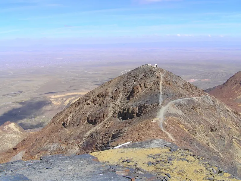
| Chacaltaya | 5,395-5,421 m (17,700-17,785 ft), per source | Day 3-4+, day trip |
| Uyuni tours | ~4,900 m; sleeps near 4,280 m | After 3+ nights on the Altiplano |
| Huayna Potosí | 6,088 m (19,974 ft) | After 3-4 nights and a practice hike |
Uyuni town sits level with La Paz (La Paz to Uyuni); the tour’s night near Laguna Colorada, about 600 m higher, is the big jump. Postpone any high trip until your headache is gone.
2026 conditions: blockades, oxygen and insurance
From 1 May to 23 June 2026, blockades cut La Paz and El Alto off by road for about 53 days, with food, fuel and medical-oxygen shortages. A state of exception runs to about mid-December 2026 and allows a state of siege with possible curfews, and on 9 September the US Embassy warned of new blockade calls over fuel prices (all as of September 2026).
Bring every medicine from home, add a buffer day or two in case a blockade cuts the airport road, and confirm your insurance covers evacuation.
Frequently asked questions
Is breathing hard in La Paz?
Yes, for the first days. At about 3,650 m the air pressure is around 500 mmHg instead of 760 at sea level, so each breath carries roughly a third less oxygen. Stairs and the steep streets of the center leave most new arrivals puffing, and waking briefly short of breath at night is common above 2,700 m. Breathlessness while you rest is different. It can signal HAPE, so go down and get help.
At what altitude do I need to worry about altitude sickness?
The CDC puts the threshold at a sleeping altitude of about 2,450 m (8,000 ft), sometimes lower, and Canada says 2,500 m. Every neighborhood in La Paz is far above that, from about 3,280 m in Mallasa to 3,650 m around Plaza Murillo, and El Alto airport sits at 4,061 m. Where you sleep on your first nights, and how fast you got there, matter most.
Which is higher, La Paz or Cusco?
La Paz. The center sits at about 3,640 m (11,942 ft) and Cusco at 3,399 m (11,152 ft), a gap of roughly 240 m. After a few nights in Cusco the step up to La Paz is small, and the bus route via Puno (about 3,830 m) and Copacabana (3,841 m) reaches La Paz downhill. See Cusco to La Paz by bus or plane.
How long does altitude sickness last in La Paz?
According to the CDC, mild altitude sickness starts 2 to 12 hours after arrival and usually clears within 12 to 48 hours if you don't go higher; the whole episode typically runs one to three days. If symptoms get worse, or haven't improved after a day of rest, the NHS says to go lower. In La Paz that means Zona Sur, about 350 m below the center.
Does coca tea help with altitude sickness?
It's legal in Bolivia and pleasant to drink, but the evidence doesn't show it prevents altitude sickness. In a 2022 study of 142 travelers in Cusco, those who drank coca tea were no less likely to get altitude sickness, and the CDC's altitude guidance doesn't mention it. One cup can turn a urine drug test positive, and coca leaf is illegal to bring into the US, UK, Canada and Australia.
Can you drink tap water in La Paz?
Stick to sealed bottled water or water you treat yourself. The CDC advises against drinking tap water in countries where it might be contaminated. If you boil it, keep it at a rolling boil for 3 minutes rather than 1, the CDC's rule for anywhere above 6,500 ft. Central La Paz sits at about 11,900 ft.
Should I take Diamox for La Paz?
Ask a travel-medicine doctor before you fly. The CDC puts anyone flying straight into La Paz in its high-risk group and advises a low threshold for preventive medication, and a 2017 Cochrane review found acetazolamide (Diamox) roughly halved the risk of altitude sickness. It's a prescription drug with side effects, so the dose is your doctor's call. The CDC adds that sleeping lower than the airport for 1-2 nights may make it unnecessary.
Is El Alto higher than La Paz?
Yes. El Alto, the separate city on the Altiplano rim above La Paz, sits at about 4,150 m (13,615 ft), roughly 500 m above the center, and the international airport is there at 4,061 m. A first night up there is the highest-risk choice in the area, so on arrival go straight down into La Paz and visit El Alto by cable car from your second day.
Keep planning