










Quick answer
La Paz, Bolivia has a mountain climate with steady days and cold nights. Downtown, at about 3,640 m (11,940 ft), afternoons reach 17-20 °C (63-69 °F) all year, while July nights drop to about 3 °C (37 °F) and below freezing in El Alto. Three quarters of the rain falls from November to March. The best time to visit is the dry season, May to September; we'd pick May or September to miss the July-August crowds.
On this page
- La Paz, Bolivia weather by month
- What is the weather like in La Paz?
- Why your weather app is quoting El Alto
- Dry season vs rainy season in La Paz
- Coldest months, and does it snow in La Paz?
- Weather in 2026-27: El Niño and current alerts
- Best time to visit La Paz, Bolivia
- What to pack for La Paz, season by season
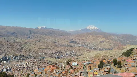
- La Paz geography: a city in a canyon below Illimani
- Where to see the canyon from above
- Frequently asked questions
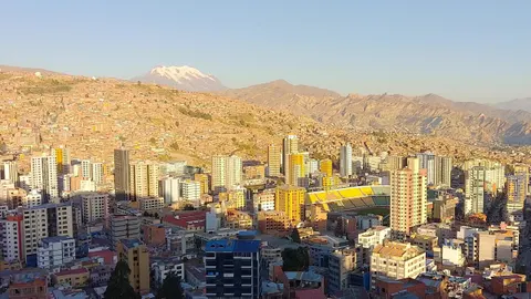
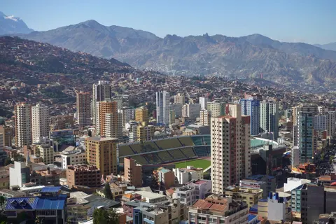
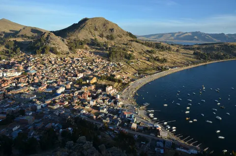
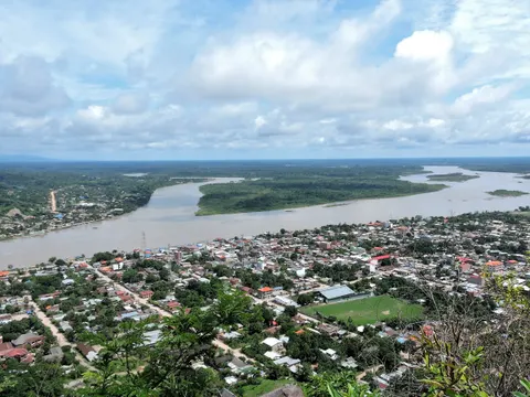
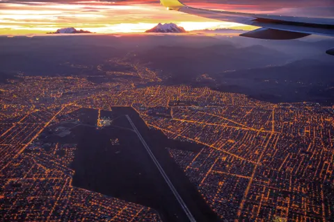
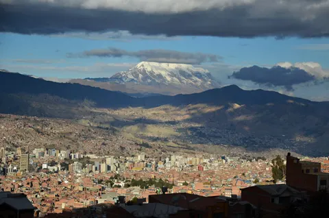
La Paz, Bolivia fills an Andean canyon at about 3,640 m (11,940 ft), with El Alto on the rim 400-500 m higher and Illimani to the southeast, and each level gets its own weather. Searches for La Paz weather also pull up forecasts for La Paz in Baja California, Mexico, so check the country before you trust a number. The monthly figures below come from SENAMHI, Bolivia’s weather service, and current conditions were checked in September 2026.
- City center
- about 3,640 m (11,940 ft)
- Afternoon highs
- 17-20 °C (63-69 °F) all year
- July nights in town
- 2.8 °C (37 °F)
- July nights in El Alto
- -4.1 °C (25 °F)
- Rainy season
- November to March
- Best time
- May to September
La Paz, Bolivia weather by month
Highs, lows, rain and rain days are SENAMHI’s 1981-2010 averages for Laikakota, the station in the city center. The last column is the airport station in El Alto, about 400 m higher, where you land.
| Month | High °C (°F) | Low °C (°F) | Rain mm (in) | Rain days | El Alto low °C (°F) |
|---|---|---|---|---|---|
| January | 18.5 (65) | 7.4 (45) | 126 (4.9) | 21 | 4.2 (40) |
| February | 18.7 (66) | 7.3 (45) | 81 (3.2) | 17 | 4.1 (39) |
| March | 18.9 (66) | 7.2 (45) | 68 (2.7) | 15 | 3.4 (38) |
| April | 19.2 (67) | 6.3 (43) | 27 (1.1) | 9 | 1.4 (35) |
| May | 19.1 (66) | 4.6 (40) | 9 (0.4) | 4 | -1.9 (29) |
| June | 17.8 (64) | 3.3 (38) | 8 (0.3) | 2 | -3.7 (25) |
| July | 17.4 (63) | 2.8 (37) | 5 (0.2) | 2 | -4.1 (25) |
| August | 18.4 (65) | 3.7 (39) | 12 (0.5) | 4 | -3.1 (26) |
| September | 19.0 (66) | 4.8 (41) | 25 (1.0) | 7 | -0.7 (31) |
| October | 19.8 (68) | 6.2 (43) | 38 (1.5) | 11 | 1.4 (35) |
| November | 20.4 (69) | 7.0 (45) | 44 (1.7) | 11 | 2.4 (36) |
| December | 20.0 (68) | 7.5 (46) | 82 (3.2) | 16 | 3.7 (39) |
| Year | 18.9 (66) | 5.7 (42) | 524 (20.6) | 119 |
Source: SENAMHI normals via Wikipedia’s La Paz climate tables; El Alto airport (4,058 m) uses 1991-2020. Fahrenheit and inches are our conversions.
About 76% of the year’s rain falls from November to March; May to September adds up to only 59 mm (2.3 in). Daylight runs from about 11 hours in late June to 13 in late December, and Bolivia keeps UTC-4 all year with no daylight saving. For today’s forecast, check SENAMHI, in Spanish.
What is the weather like in La Paz?
La Paz has a subtropical highland climate (Köppen Cwb) downtown and in Zona Sur, and a colder version bordering on tundra above 4,000 m. Average highs only move between 17.4 and 20.4 °C across the year, but afternoon and pre-dawn sit about 13 °C (24 °F) apart. In August an 18 °C afternoon falls to about 4 °C by dawn.
For northern-hemisphere readers, the seasons run backwards. June to August is winter, with dry air (humidity near 50%) and about 8 hours of sunshine a day. December to March is summer and the rainy season, with about 5 hours of sun a day in January. Easterly winds push moist Atlantic air over the eastern Andes into the La Paz valleys, says the city government’s climate study, which adds that frost can come in any month.
The sun hits hard at 16° south and 3,640 m. The WHO says UV rises with altitude and can stay high under cloud, so a cool, overcast day still burns. For the health side, see our La Paz altitude sickness guide.
Why your weather app is quoting El Alto
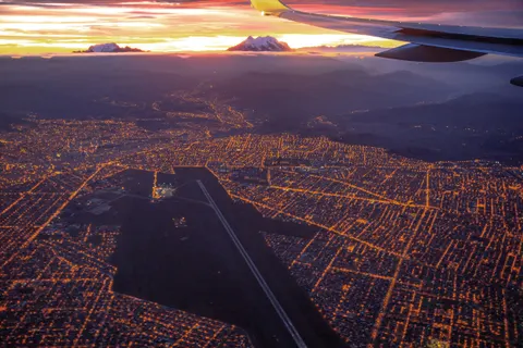
Many forecasts labeled “La Paz” draw on the weather station at El Alto airport (code SLLP), 4,058 m up on the plateau. WeatherSpark models “La Paz” at 12,408 ft (3,782 m) from NASA’s MERRA-2 reanalysis and El Alto airport records, which gives a July average low of 28 °F. Journey Latin America lists dry-season highs of 13 °C and lows of -3 °C. Both sets match the airport far better than downtown.
Downtown runs 3-4 °C (6-7 °F) warmer than the airport in the afternoon and 3-7 °C (6-13 °F) warmer at night, with the widest gap from May to August. If an app shows a frosty 25 °F morning in July, downtown is closer to 37 °F.
| Area | Elevation | What to expect |
|---|---|---|
| Zona Sur (Calacoto, Achumani) | 3,200-3,300 m (10,500-10,800 ft) | Lowest and mildest |
| Downtown (Plaza Murillo, San Calixto) | about 3,640 m (11,940 ft) | The table above |
| Upper slopes (Pasankeri, Chuquiaguillo) | 3,980-4,080 m (13,060-13,390 ft) | Near El Alto conditions |
| El Alto airport | 4,061.5 m (13,325 ft) | Station behind some “La Paz” forecasts |
| El Alto city | about 4,150 m (13,615 ft) | Lows below freezing May to September |
Elevations: SENAMHI station list (2010), Wikipedia, Canada’s travel advice. More on the rim city in our El Alto guide.
Dry season vs rainy season in La Paz
Canada and the UK both give November to March as Bolivia’s rainy season, when floods and landslides can block roads. The city government calls May to August dry and the months in between transitional.
May to September
Dry seasonTwo to seven rain days a month and no more than 25 mm (1 in) of rain. Afternoons reach 17-19 °C (63-66 °F); nights drop to 3-5 °C (37-41 °F) downtown and below freezing in El Alto. Wildfire smoke can hurt air quality in the dry season (the UK says May to October, Canada July to October).
Verdict: the best months for mountain views, hiking and day trips. Pack for cold nights.
April, October and November
Shoulder monthsNine to eleven rain days a month and the warmest afternoons of the year, up to 20.4 °C (69 °F) in November. Nights in town stay above 6 °C (43 °F).
Verdict: a good bet if you want fewer visitors and can move one outdoor day around the weather.
December to March
Rainy seasonRain on 15 to 21 days a month, with January the wettest at 126 mm (4.9 in). Hail is possible, and the mildest nights of the year hover around 7 °C (45 °F).
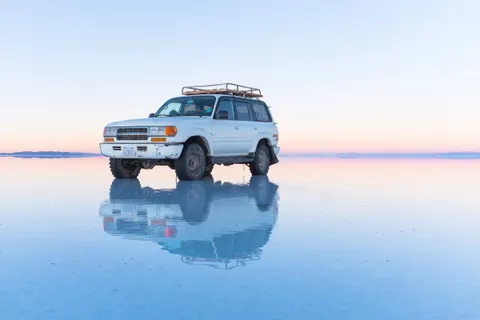
Verdict: fine for museums, markets and the Uyuni mirror; poor for trekking, climbing and clear views of the peaks.
On February 19, 2002, heavy rain and hail sent the Choqueyapu River over its banks. The BBC reported El Prado “transformed into a fast-moving river”, and the UN counted at least 69 dead. In a heavy storm, stay out of underpasses and away from river channels.
Coldest months, and does it snow in La Paz?
June and July are the coldest months. Downtown lows average 3.3 °C (38 °F) in June and 2.8 °C (37 °F) in July, while El Alto averages -3.7 °C and -4.1 °C (25 °F). The records are -6.0 °C (21 °F) downtown and -12.4 °C (10 °F) at the airport, both in June. Afternoons still reach 17-18 °C, so a T-shirt at noon and a down jacket after dark is normal in July.
Snow in downtown La Paz is rare. El Alto averages 1.7 snow days a year, most of them in August and September. On August 13, 2023, snow closed El Alto airport for a few hours (El Deber). On August 24, 2026, heavy snow on the altiplano cancelled more than 60 flights and the La Paz bus terminal suspended departures to western cities, while downtown got rain (AP). If you fly home in August or September, leave a spare day before an international connection (El Alto airport guide).
Weather in 2026-27: El Niño and current alerts
As of September 2026
On September 10, 2026, NOAA issued an El Niño Advisory and put the chance of a very strong event above 90% for the northern winter of 2026-27, La Paz’s rainy season. Bolivia’s government and SENAMHI expect the peak from October to December 2026, with less rain and above-normal temperatures in the west, including La Paz (El Deber). By late August, 26 municipalities, some in La Paz department, had declared drought emergencies; in 2016, drought led to water rationing in La Paz and El Alto.
SENAMHI’s orange alert for September 29 to October 2, 2026 forecast temperatures 6-12 °C below normal and snow on the El Alto side of the city (El Día). A November or December trip may see fewer wet days than the table shows; check SENAMHI the week you fly.
Bolivia’s state of exception, in force since June 20, 2026, runs to about mid-December, and blockades cut La Paz off from May 1 to June 23, 2026. Read La Paz travel tips and is La Paz safe? before you book.
Best time to visit La Paz, Bolivia
The best time to visit La Paz is May to September, with two to seven rain days a month and about 8 hours of sunshine a day. Our picks are May and September. Both are dry (4 and 7 rain days), nights run about 2 °C warmer than in July, and you miss July and August, which Journey Latin America flags as the busiest months.
Dates worth planning around:
- January 24: Alasita, the fair of miniatures, opens (UNESCO-listed in 2017).
- February 6, 2027: main parade of the Oruro Carnival.
- Late May or June: the Gran Poder dance parade. The 2027 date hadn’t been announced; the usual calendar points to May 22.
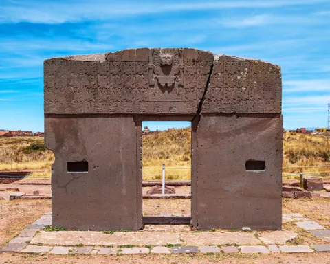
- June 21: Aymara New Year (Willkakuti), greeted at dawn at Tiwanaku.
- November 2: All Souls’ Day (Todos Santos), a national holiday.
Which one is for you?
- If you want clear skies and Illimani in sharp focus: June to August; pack for nights near freezing.
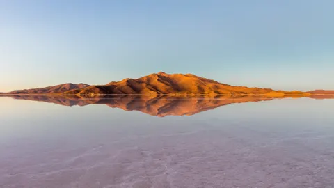
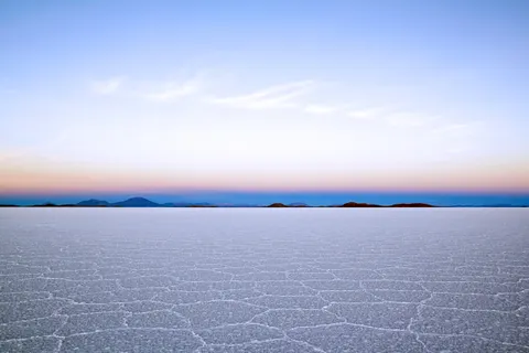
- If you want the Uyuni salt-flat mirror: mid-January to February, never guaranteed (Uyuni salt flats).
- If you’re climbing Huayna Potosí: May to September (Huayna Potosí climb).
- If you’re riding the Death Road: the dry season; tours run in the rains, with mud and fog (Death Road Bolivia).
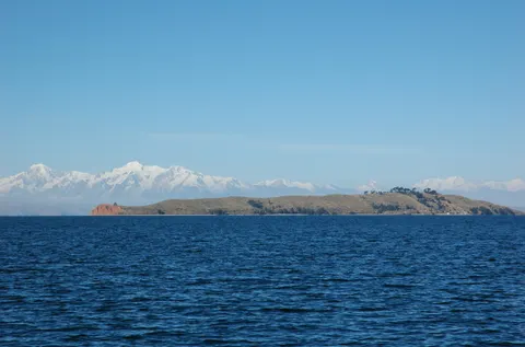
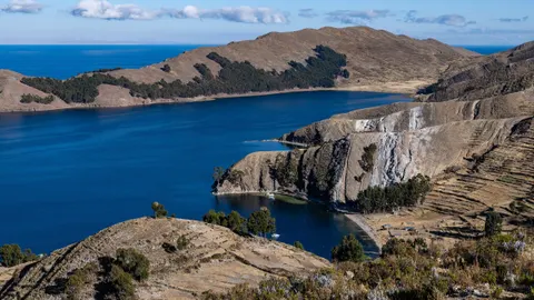
- If you’re adding Lake Titicaca: May to September, with nights that can freeze (Lake Titicaca).
If your trip centers on trekking, climbing, the Death Road or mountain views, December to March is the time to skip. For Uyuni, the Amazon and the rest of the country, see the best time to visit Bolivia.
What to pack for La Paz, season by season
- Layers: a T-shirt, a fleece and a warm jacket cover the 13 °C daily swing.
- Hat and gloves: El Alto averages below freezing at night from May to September, Chacaltaya tops 5,300 m, and if you continue to Uyuni, its July nights average -9.7 °C (15 °F).
- Rain shell and shoes that handle water: December to March, when January brings 21 rain days.
- Sun protection: high-SPF sunscreen, sunglasses and a brimmed hat, since UV climbs with altitude.
- Lip balm and moisturizer: humidity averages 48% in June.
- Shoes with grip: the city government says 35% of the urban area is built on slopes steeper than 50%.
- A question for your hotel: ask whether rooms have heating before you book, since July nights downtown average under 3 °C. Zona Sur is lower and milder (where to stay in La Paz).
La Paz geography: a city in a canyon below Illimani
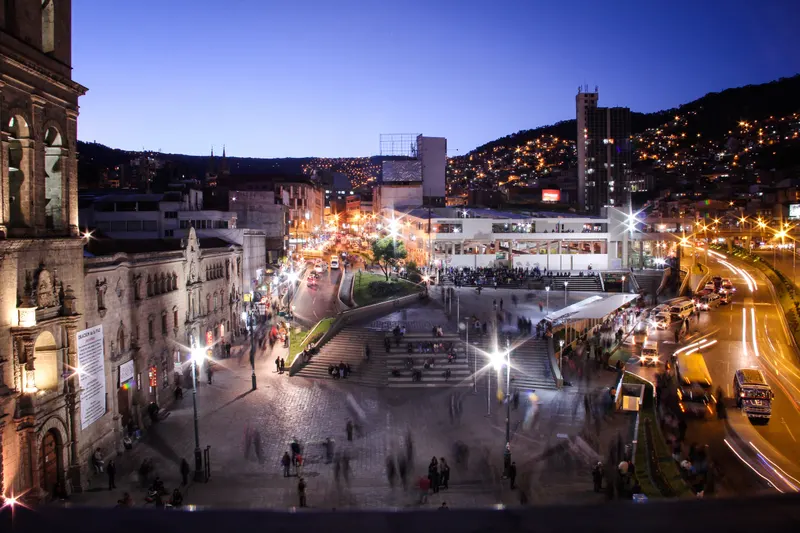
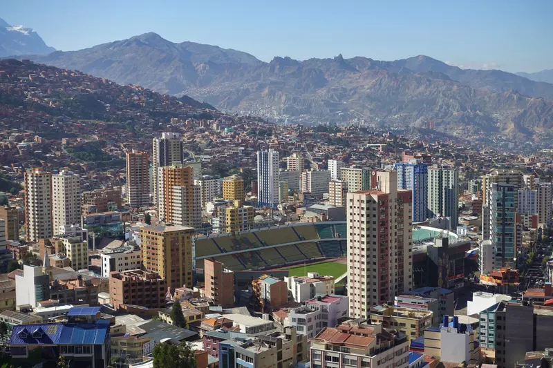
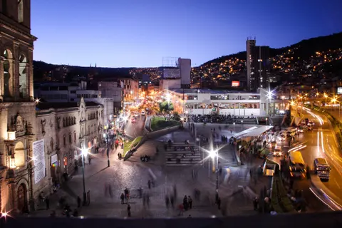
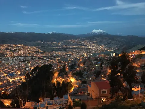
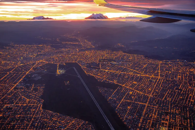
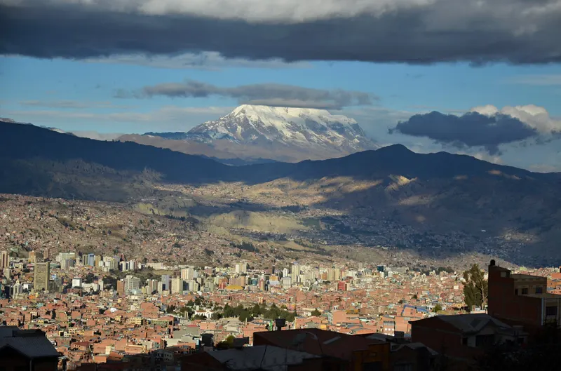
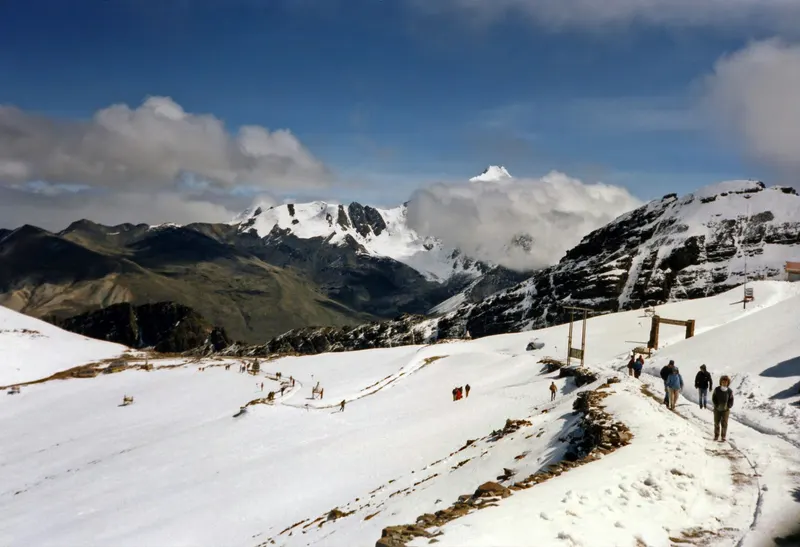
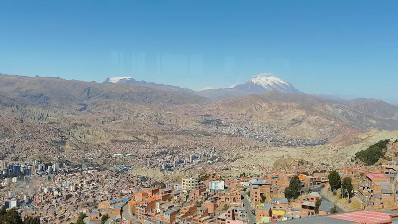
La Paz sits in western Bolivia on the northeastern edge of the altiplano, at the foot of the Cordillera Real, about 60-70 km southeast of Lake Titicaca. The city fills a canyon that the Choqueyapu River and its tributaries cut into old river and glacial deposits, later deepened by the last glaciation (La Paz city government). From El Alto (about 4,150 m) down to Zona Sur (about 3,200 m), the city drops roughly 950 m (3,100 ft).
You won’t see much of the Choqueyapu downtown. It runs covered beneath Avenida Montes, El Prado and Avenida del Poeta, joins the Irpavi in Calacoto and becomes the Río La Paz, whose water reaches the Amazon via the Río Beni. The Spanish founded La Paz on October 20, 1548, at Laja on the open altiplano, and moved it three days later down into this valley. El Alto, on the rim, now outnumbers La Paz, with 885,035 people against 755,732 (2024 census).
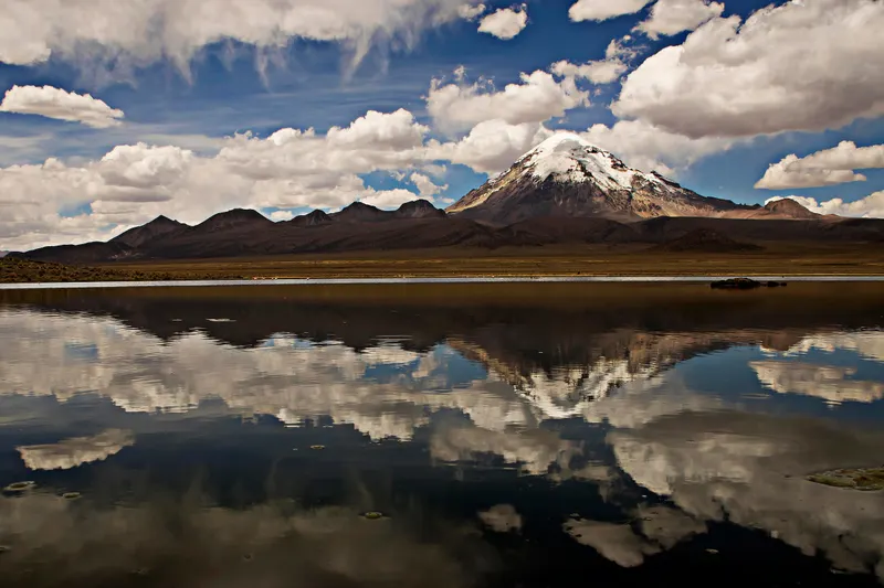
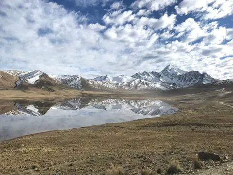
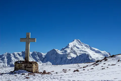
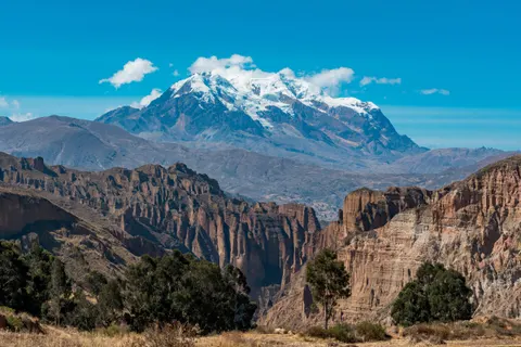
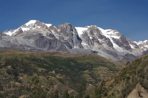
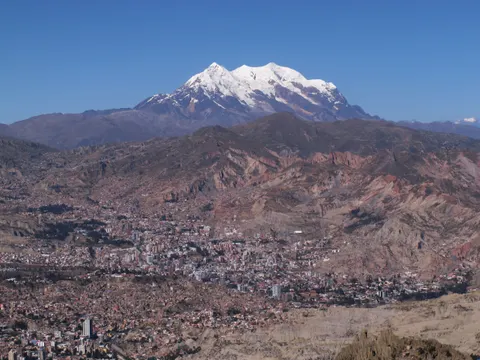
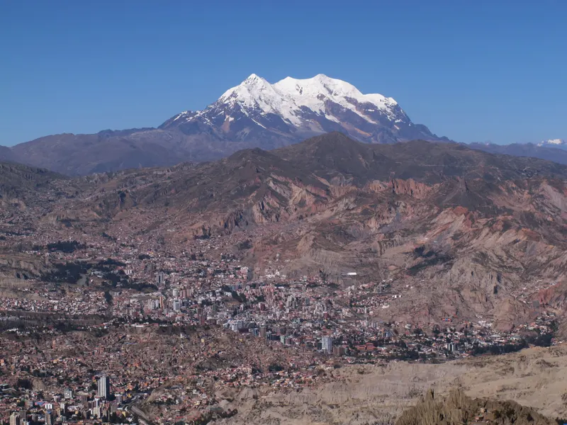
Illimani (6,438 m / 21,122 ft; some sources give 6,462 m) closes the view to the southeast, about 40 km away in a straight line by our calculation. It is the highest peak of the Cordillera Real, second in Bolivia after Sajama, and has sat on the city’s coat of arms since 1897. Huayna Potosí (6,088 m), about 25 km north, is the one you can climb on a guided trip of a few days (Huayna Potosí climb).
Where to see the canyon from above
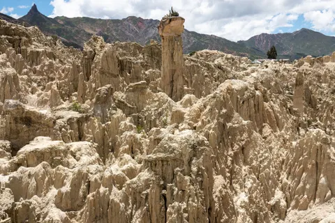
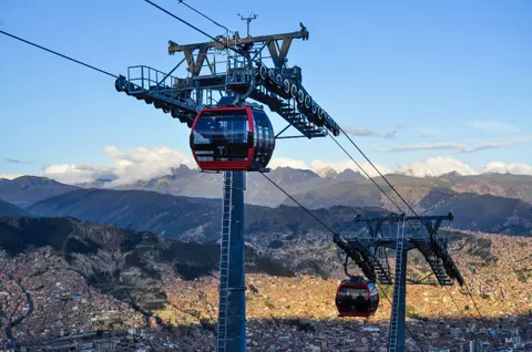
The cable car shows the whole profile. Ride the Red Line from Estación Central up to 16 de Julio on the El Alto rim, follow the rim on the Silver Line to Mirador, then drop toward Illimani on the Yellow Line to Sopocachi. The three rides cost Bs 3 plus two Bs 2 transfers, Bs 7 in all (about US$0.60). Mirador Killi Killi looks across downtown to Illimani and is best in the hour before sunset. The Valley of the Moon, on the southern edge, shows the erosion up close in spires of soft clay (foreigners pay Bs 15, about US$1.25). More spots in La Paz viewpoints.


With a guide, a three-hour walking tour that rides several cable-car lines up to El Alto starts from about $10; half-day tours with transport that add the Valley of the Moon, the Valle de las Ánimas or Killi Killi run from about $45 to $85.
Guided ways to see the canyon
Book on Viator From $10City Tour plus Cable Car La PazFree cancellationCheck availability
 From $43Private City tour, Cable Car and Moon ValleyFree cancellationCheck availability
 From $85Valle de Las Animas, Moon Valley and Killi Killi half day tourFree cancellationCheck availability
Prices in US$ per person from Viator as of Sep 30, 2026. They change; you see the final price before paying.
For more options by budget and length, see La Paz tours compared.
Frequently asked questions
What is the best month to visit La Paz?
May or September. Both sit in the dry season (about 4 and 7 rain days in the city), nights run a couple of degrees milder than in July, and you miss the July-August peak. If clear skies matter more than crowds or cold, June and July average about 2 rain days each. January is the worst month for views, with rain on 21 days out of 31.
Does it rain every day in La Paz in the rainy season?
No. January, the wettest month, averages 21 days with rain in the city, February 17 and March 15 (SENAMHI normals, 1981-2010), so dry days happen even in midsummer. January's total is 126 mm (4.9 in). Pack a rain shell, keep a free day for outdoor plans, and expect mud and fog on mountain roads such as the Death Road.
How bad is altitude sickness in La Paz?
The CDC rates flying straight into La Paz as high risk. Rates of altitude sickness approach 50% after a fast ascent above 3,400 m. Mild symptoms (headache, nausea, poor sleep) usually ease within 12 to 48 hours if you don't go higher. Rest on day one, skip alcohol for 48 hours and ask a travel-medicine doctor about acetazolamide before you fly. Details in our altitude sickness guide.
How high is La Paz, Bolivia?
Downtown La Paz sits at about 3,640 m (11,940 ft); published figures for Plaza Murillo range from 3,636 to 3,650 m. The city itself runs from about 3,200 m in Zona Sur to over 4,000 m on its upper slopes. El Alto, on the plateau above, is at about 4,150 m (13,615 ft), and you land at El Alto International Airport, 4,061.5 m (13,325 ft).
Is Illimani a volcano?
No. Illimani (6,438 m / 21,122 ft) is built of metamorphic rock and intrusive granites, lifted by the folding that raised the Andes, per the geology section of its Wikipedia entry. It has four summits above 6,000 m, its upper ridges stay snow-capped all year, and it stands about 40 km southeast of downtown in a straight line. Martin Conway's party made the first recorded ascent in 1898.
Does La Paz get snow?
Rarely downtown, more often in El Alto. El Alto averages 1.7 snow days a year, most in August and September, and snow closed El Alto airport on August 13, 2023 and cancelled more than 60 flights on August 24, 2026, while downtown got rain.
Is November a good time to visit La Paz?
Yes, if you can work around some rain. November has the warmest afternoons of the year in La Paz (20.4 °C / 69 °F), nights near 7 °C (45 °F) and rain on about 11 days, adding up to 44 mm, about a third of January's total. You also miss the July-August peak. For late 2026, SENAMHI's El Niño outlook points to less rain than usual in western Bolivia; check the forecast again the week you fly.
What time does the sun set in La Paz?
Between about 6:05 p.m. in early June and 7:10 p.m. in late January, by our calculation for Plaza Murillo. Sunrise ranges from about 5:50 a.m. in late November to 7:00 a.m. in early July. Bolivia stays on UTC-4 all year with no daylight saving. Down in the canyon the sun drops behind the ridges a little earlier, so reach a viewpoint half an hour ahead.
Is La Paz the capital of Bolivia?
Sucre is the constitutional capital under Article 6 of Bolivia's 2009 constitution. La Paz is the seat of government, home to the presidency, the legislature and the electoral authority, which makes it the highest seat of government in the world. Our La Paz travel guide covers the city beyond the weather.
Keep planning