




Quick answer
Chacaltaya is a mountain in Bolivia's Cordillera Real, about 30 km by road from La Paz, with its summit at 5,395 or 5,421 m (sources differ). Its glacier, once the world's highest lift-served ski area, was gone by 2009. Today a van takes you to the old ski lodge at about 5,300 m and you hike 30-60 minutes to the top. Shared tours with the Valley of the Moon start at about US$35; entry is Bs 25 (September 2026).
On this page
- Where is Chacaltaya and how high is it?
- Chacaltaya ski resort: the world’s highest, until the glacier melted
- How to get to Chacaltaya from La Paz
- Chacaltaya tours compared (2026)
- How much does a Chacaltaya trip cost?
- The Chacaltaya hike: how long and how hard?
- Altitude: how to do Chacaltaya without getting sick
- Chacaltaya weather and the best time to go
- Current conditions (September 2026)
- Is Chacaltaya worth it?
- Frequently asked questions
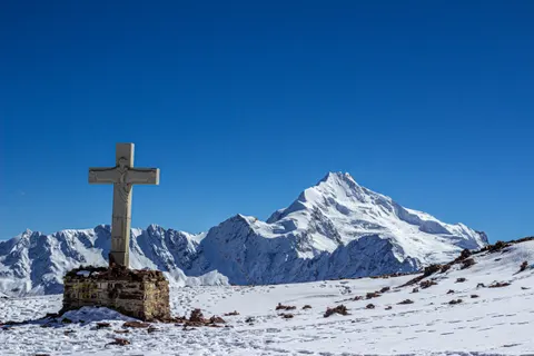
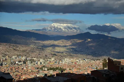
Chacaltaya (Cerro Chacaltaya, or Mount Chacaltaya in some English guides) is a mountain in the Cordillera Real, about 30 km by road from La Paz, Bolivia. A rope tow built on its glacier in 1939 made it the world’s highest lift-served ski area. The glacier was gone by 2009, but a dirt road still climbs to the old ski lodge at about 5,300 m, so Chacaltaya remains the easiest place near La Paz to stand above 5,000 m. From the lodge, a 30-60 minute ridge walk reaches the summit and a close view of Huayna Potosí.
Go on your third day in La Paz or later. The summit is about 1,750 m above the city center.
- Summit
- 5,395 or 5,421 m
- From La Paz
- 1.5-2 h by road
- Hike
- 30-60 min from the lodge
- Entry
- Bs 25, about US$2 (Sep 2026)
- Annual mean temp
- -0.3 °C at 5,188 m
- Best months
- May to September
Where is Chacaltaya and how high is it?
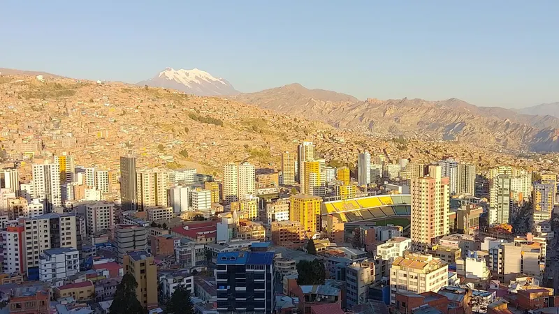
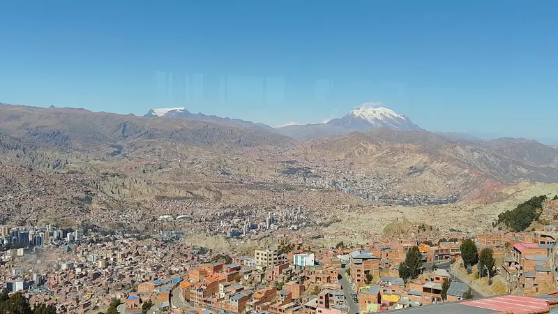
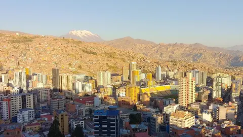
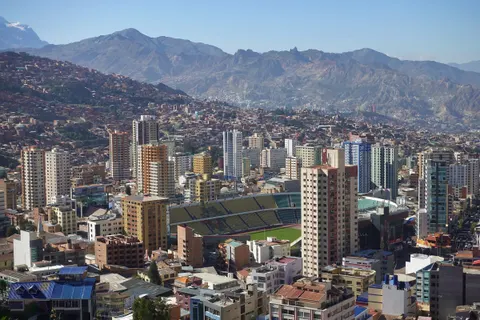
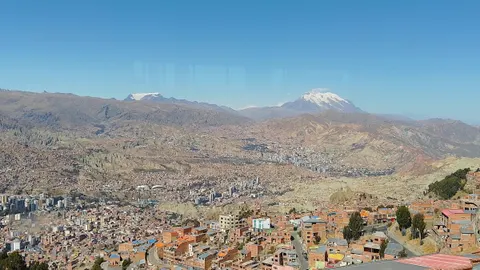
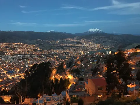
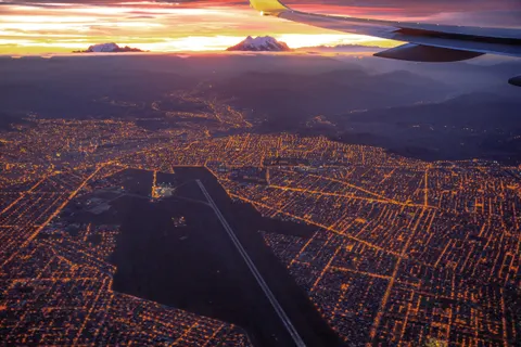
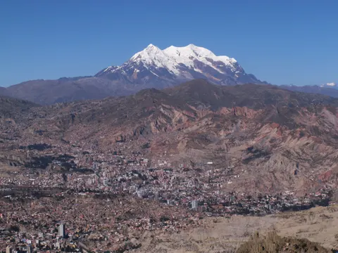
Chacaltaya stands in the Cordillera Real, the snow-capped range of the Andes you see from La Paz, about 16 km north of Plaza Murillo in a straight line. The road is nearly twice as long, because it climbs through El Alto before a dirt track winds up the mountain.
Sources give two summit heights. The English-language Wikipedia, working from Bolivia’s 1:50,000 military map, says 5,395 m; the Spanish-language Wikipedia, OpenStreetMap and PeakVisor say 5,421 m, and operators round up to 5,435 m or more. The ridge has two tops, which may explain the gap. Either figure beats Everest’s South Base Camp in Nepal (5,364 m), and even the lodge where the vans park, at about 5,300 m, is higher than Everest’s North Base Camp in Tibet (5,150-5,200 m, depending on the source).
Say it chah-kahl-TAH-yah. The name is usually translated from Aymara as “cold road”; a reading from the Mollo language gives “bridge of winds”.
Chacaltaya ski resort: the world’s highest, until the glacier melted
In 1939 a rope tow powered by an automobile engine went up on the Chacaltaya glacier, the first ski lift in South America. Chacaltaya became the highest lift-served ski area in the world, with a drop of about 200 m, open on weekends from November to February or March (sources differ). It stayed Bolivia’s only ski area until 2009. The Club Andino Boliviano still looks after the old lodge, and the Bs 25 entry fee is collected for its refuge. Guinness World Records lists the world’s highest restaurant here, at 5,340 m; we couldn’t confirm that anyone serves food up there today.
Chacaltaya glacier before and after, in numbers
The glacier was a small, south-facing cirque about 18,000 years old. When a team from France’s ORSTOM (now IRD) measured it in 1997, it ran from 5,375 m down to 5,123 m and was at most about 20 m thick.
| Year | Glacier area | Share of 1850 size |
|---|---|---|
| 1850 (Little Ice Age maximum) | 0.53 km² | 100% |
| 1940 | 0.22 km² | 42% |
| 1982 | 0.17 km² | 33% |
| 1996 | 0.08 km² | 16% |
| 2007 | 0.01 km² | About 2% |
| 2009 | 0 | 0% |
Sources: 1850-1996 from the ORSTOM/IRD field study (1998); 2007 and 2009 from Wikipedia, citing BBC and Bloomberg reports.
The 1998 report projected total loss by around 2014, and a 2005 forecast said 2015. The ice was gone by 2009. Half the volume loss happened before 1980, and Wikipedia’s summary of the research blames the final melt on missing precipitation and warm El Niño phases. A 2013 review in The Cryosphere found glacier retreat across the tropical Andes unprecedented since the Little Ice Age maximum, and researchers have tracked the Zongo glacier on Huayna Potosí, about 10 km north, since 1991.
Can you still ski in Bolivia?
Not at any resort you can book. Skiresort.com lists Chacaltaya as shut down, and in 2026 we found no working lift or ski rental. Wikipedia says a 180 m stretch sometimes gets enough snow, mostly from December to March, for skiers who bring their own gear and walk up. For lift-served skiing, look to Chile or Argentina.
The cosmic-ray lab on the ridge
Lower down, at about 5,220-5,240 m, stands the cosmic physics laboratory of UMSA, La Paz’s public university, which began in 1942 as a weather station. In April 1947 the Brazilian physicist César Lattes, part of the University of Bristol team that discovered the pion that year, exposed photographic plates at the station and recorded more pion decay events. The Nobel committee then honored only group leaders, so the 1950 Nobel Prize in Physics went to the team’s head, Cecil Powell. Since 2011 the site has also been a Global Atmosphere Watch station. We found no public visiting hours.
How to get to Chacaltaya from La Paz
We found no public transport to the lodge, so you go by tour, hired driver or your own vehicle.
Shared tours are the standard option. They collect you in central La Paz between about 8 and 8:45 a.m. and drive up through El Alto in 1.5-2 hours. Jiwaki, a La Paz operator, stops at the Jilarata viewpoint at 10 a.m. and reaches the lodge at 11. The last stretch is a narrow, single-lane dirt road with switchbacks. Most tours then head to the Valley of the Moon and drop you back in La Paz around 4-4:30 p.m.
A hired driver or taxi lets you set the pace, but we found no published fare, so agree on the price, the waiting time and the vehicle before you leave. Ask for a 4x4 from November to March, when snow can make the road dangerous. You can rent a 4x4 and drive yourself, though we wouldn’t take a single-lane track at 5,000 m in our first week at altitude.
Chacaltaya and the Valley of the Moon in one day
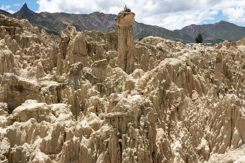
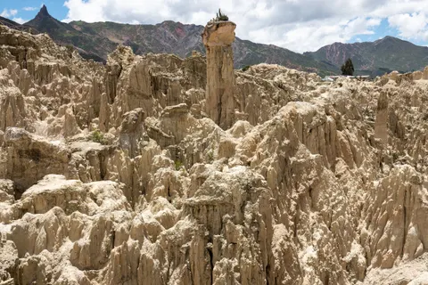
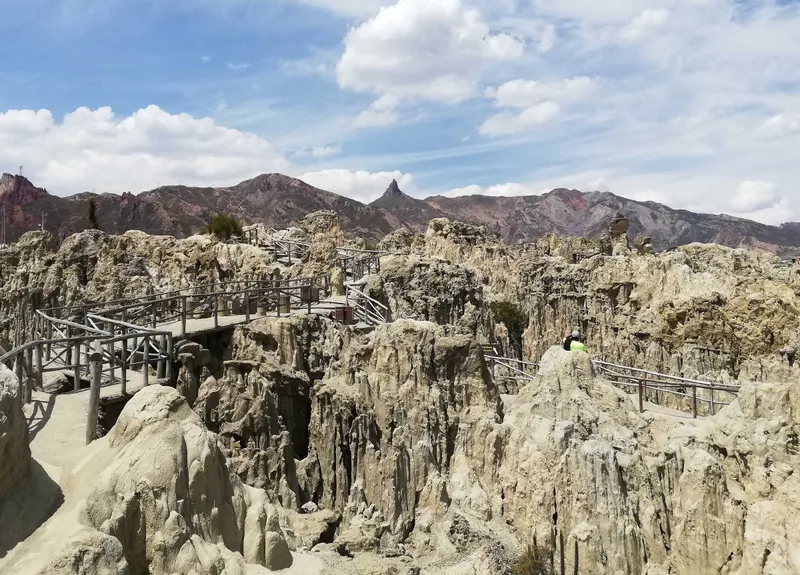
Most Chacaltaya tours pair it with the Valley of the Moon, a park of eroded clay spires in Mallasa, about 12 km by road south of the center and some 2,000 m lower than the summit, at about 3,300 m. The city charges foreigners Bs 15 (about US$1.25), while two tour listings budget Bs 20. The short loop takes about 15 minutes and the long one about 45, and tours give you between 30 minutes and 1.5 hours there.
Chacaltaya tours compared (2026)
Viator lists only five Chacaltaya tours, and none has 4.5 stars or more from more than eight reviews. We’d consider these three. All offer free cancellation up to 24 hours before, and the operator can cancel any of them for bad weather.
| Tour | From | Best for | Check availability |
|---|---|---|---|
| Full-Day Chacaltaya and Valley de la Luna (Valley of the Moon) TourFree cancellation | $35 | Entry fees included | Check price |
| Chacaltaya + Moon ValleyFree cancellation | $40 | Top rated (only 8 reviews) | Check price |
| Chacaltaya & Valley of the MoonFree cancellation | $36.99 | Most reviews (4.0★) | Check price |
Prices in US$ per person from Viator as of Sep 30, 2026. They change; you see the final price before paying.
- Hanaqpacha Travel’s full-day tour: our pick, as the only one of the three that lists both entrance fees as included. Pickup is from central hotels, or at the María Auxiliadora basilica on El Prado (Avenida 16 de Julio) at 8:30-8:45 a.m. if you stay in Sopocachi or the Zona Sur. It ends at San Francisco church. Its itinerary budgets only 30 minutes at Chacaltaya, less than most people need for the summit, so ask before booking whether the walk fits. You give passport details when you book, and food is extra.
- Feel Bolivia’s Chacaltaya + Moon Valley: 4.88 stars from eight reviews, 8 a.m. to 4 p.m., with about an hour’s walk to the top. Fees (Bs 25 plus Bs 20) and lunch cost extra, and the booking form’s age bands stop at 50, so older travelers should message the operator first.
- Buhos Tours’ Chacaltaya & Valley of the Moon: the most reviews (39) and the lowest rating (4.0), with about 60 minutes at Chacaltaya and 45 in the valley. Its inclusions name only a guide and transport while its itinerary marks admission as included, so ask about fees before you pay.
Ignore the “suitable for all physical fitness levels” tag on two of the listings; all three also say the trip isn’t recommended for travelers with poor cardiovascular health. For other trips from the city, see our La Paz tours guide.
How much does a Chacaltaya trip cost?
Prices are, at the official rate of Bs 12.02 per US$ on 30 September. Bolivia floated the boliviano on 26 June 2026, so prices worked out at the old Bs 6.96 rate are stale; our Bolivia currency guide explains the change.
| Item | US$ | Bs | Notes |
|---|---|---|---|
| Shared tour with the Valley of the Moon (Viator) | 35-40 | About 420-480 | 7.5-8 h; one of our picks includes both fees |
| Operator tour with lunch (Jiwaki) | From 70 | About 840 | Fees extra; minimum 2 people |
| Private day (Bolivian Mountains) | 40-75 per person | About 480-900 | US$75 each for 2 people, US$40 each for 5 or more |
| Chacaltaya entry (foreigners) | About 2 | 25 | Cash; one operator says bring your passport |
| Valley of the Moon entry (foreigners) | About 1.25-1.70 | 15-20 | City price Bs 15 |
| Trekking-pole rental (Jiwaki) | About 2.50 | 30 | Optional |
| Hired driver or taxi for the day | - | - | No published fare; agree on one first |
A shared tour with both fees comes to about US$35-45 per person. Diesel jumped from Bs 9.80 to Bs 17.95 per liter on 18 September 2026, so get your price confirmed in writing, and carry small bills in bolivianos for fees and lunch.
The Chacaltaya hike: how long and how hard?
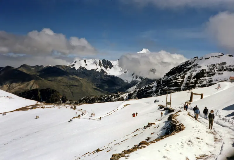
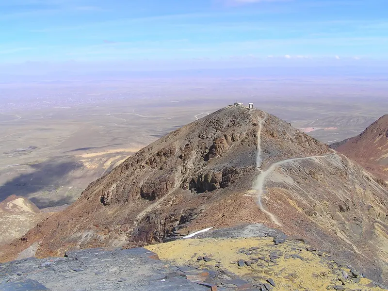
From the lodge at about 5,300 m, the trail follows the ridge over a first top, dips, then climbs to the main summit. Expect about 150-200 m of ascent, 30-60 minutes up and 15-30 minutes down; Jiwaki says 40 up and 15 down, and one Viator operator allows an hour. The path is loose shale, sometimes snowy, and PeakVisor grades it T3 on the Swiss hiking scale (demanding mountain hiking).
Nothing is technical, but at 5,300 m the air pressure, and with it the oxygen in each breath, is about half of sea level. Walk slower than feels necessary and use trekking poles on the loose descent. If you feel sick at the lodge, stay there; Huayna Potosí is in view from the parking area too.
What can you see from Chacaltaya?
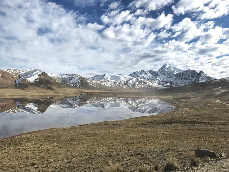
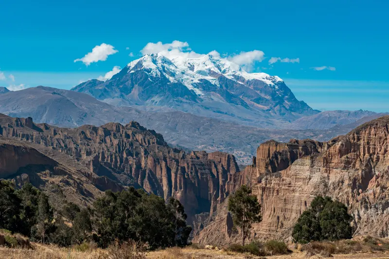
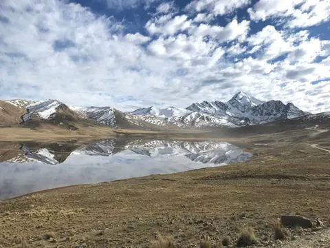
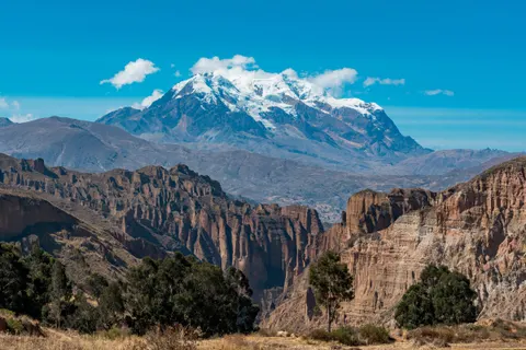
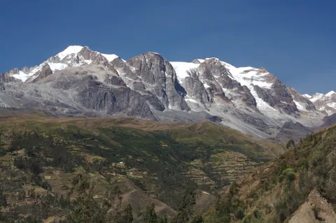
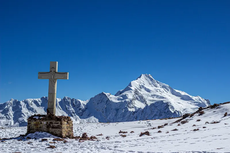
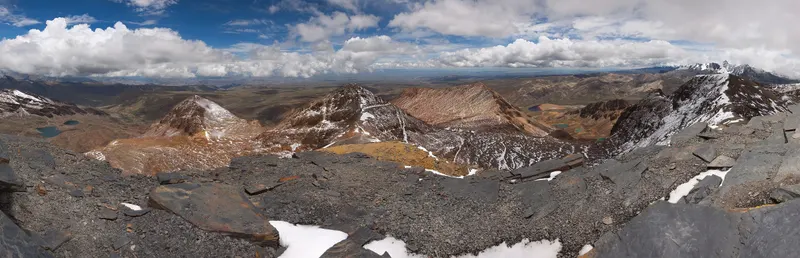
Huayna Potosí (6,088 m) fills the view to the north, about 10 km away. On clear days, trip reports also describe Illimani and Mururata to the southeast and Lake Titicaca on the western horizon, with El Alto and La Paz spread below and several lagoons in the valleys under the ridge.
Altitude: how to do Chacaltaya without getting sick
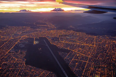
If you fly in, you land at El Alto International Airport (4,061.5 m) and most likely sleep in central La Paz at about 3,640 m, so Chacaltaya’s summit is about 1,750 m above your bed. The CDC rates flying straight into La Paz as high risk for altitude illness and advises raising your sleeping altitude by no more than 500 m a night above 3,000 m. A day trip keeps to that rule, since you sleep back in La Paz, but it stacks a two-hour, 1,750 m climb on top of whatever symptoms you already have.
We recommend at least two or three nights in La Paz first, so never on day one or two. Nights in Copacabana on Lake Titicaca, at about 3,840 m, count. The CDC advises no alcohol for the first 48 hours and discusses acetazolamide, a prescription drug, for prevention, so ask a travel-medicine doctor before you fly. Coca tea is a local custom that the CDC doesn’t list as prevention. More in our La Paz altitude sickness guide.
If you feel sick, stop at the lodge
A headache with nausea, dizziness or unusual tiredness is acute mountain sickness, and the CDC says never to go higher with symptoms. Stay at the lodge and let the group walk without you. Confusion, loss of coordination or breathlessness at rest are emergencies, so tell your guide and go down at once. The CDC notes that dropping 300 m or more brings rapid improvement, and the drive back toward La Paz does that.
Skip Chacaltaya if you have heart problems (all three Viator listings advise against it), if you’re pregnant (two of them say the same), or if the altitude already hit you hard in La Paz. Climbers use it as an acclimatization outing a couple of days before the Huayna Potosí climb.
Chacaltaya weather and the best time to go
Wikipedia’s table for the SENAMHI weather station on Chacaltaya (5,188 m) shows an annual mean of -0.3 °C, daily highs from 2.3 °C in July to 5.7 °C in October, and a July average low of -7.7 °C. January brings 81.1 mm of precipitation and July 3.4 mm, and that close to freezing we’d expect much of it to fall as snow.
May to September
Dry seasonClear skies most days, the best odds of seeing Lake Titicaca, and little snow on the road. It’s also the coldest stretch. Jiwaki extends the clear-sky season through October.
Verdict: the best time to go, dressed for temperatures below freezing.
November to March
Rainy seasonMore cloud and most of the year’s precipitation, much of it as snow at this height. Snow can make the dirt road dangerous, and tours may cancel for weather.
Verdict: worth it if you want snow on the mountain; pack waterproofs, keep a spare day and don’t count on the view.
What to wear and bring
- Warm layers: a thermal base, a fleece and a windproof jacket, plus gloves and a hat in any month
- Sunglasses with UV protection, and sunscreen
- 1-2 liters of water and snacks (none of our three Viator picks includes food)
- Bs 25 for Chacaltaya and Bs 15-20 for the Valley of the Moon in cash, unless your tour covers them
- Your passport, which one operator says is checked when you buy the Chacaltaya ticket
- Shoes with good grip for loose shale, and trekking poles if you have them
For the rest of your trip, see the best time to visit Bolivia and our La Paz weather guide.
Current conditions (September 2026)
Updated September 2026
Road blockades from 1 May to 23 June 2026 cut off La Paz and El Alto for about seven weeks, and the only road to Chacaltaya starts in El Alto. The state of exception in force since 20 June was extended in mid-September by 90 days, to about mid-December, and the extension makes curfews possible. The US Embassy warned on 9 September of protests over fuel, and diesel went from Bs 9.80 to Bs 17.95 per liter on 18 September. On Saturday 3 October 2026, the 88 km Yolosa-Chacaltaya mountain-bike race finishes at the Chacaltaya refuge (5,270 m), so check with your operator if you plan to go that day.
Book a tour with free cancellation, leave a spare day before your flight out, and read is La Paz safe? before you travel.
Is Chacaltaya worth it?
Our verdict
Yes, if you’ve had two or three nights in La Paz, the sky is clear, and you want to stand at about 5,400 m without ropes or crampons. Skip it if you’re expecting a glacier or skiing, if you landed yesterday, or if you have a single free day in La Paz, which is better spent in the city.
Which one is for you?
- If you want 5,000+ m without climbing: Chacaltaya plus the Valley of the Moon in one day.
- If you’d rather walk to a lake under a snow peak: Charquini and Laguna Esmeralda (5,024 m), about an hour’s walk from a trailhead at about 4,800 m. The most-reviewed Charquini trip on Viator, a private tour, had 4.68 stars from 78 reviews in September 2026, twice as many as the busiest Chacaltaya listing; entry is extra (check the Charquini tour on Viator).
- If you landed in the last 48 hours: the Valley of the Moon only, at about 3,300 m.
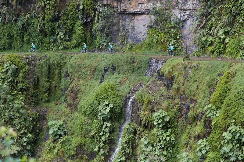
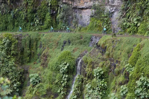
- If you want an adrenaline day: mountain-bike the Death Road.
- If you’re climbing Huayna Potosí: do Chacaltaya first as an acclimatization day.
What we'd skip
- Chacaltaya on your first or second day in La Paz.
- Any tour whose listing still sells a glacier or skiing. One Viator listing calls the glacier “one of the highest in the world”.
- Driving up without a 4x4 between November and March.
There’s no bookable lodging at Chacaltaya, so sleep in La Paz and compare hotels in La Paz. For more trips from the city, see day trips from La Paz; for the bigger picture, our Bolivia itinerary.
Frequently asked questions
How high is Chacaltaya?
Sources disagree. The English-language Wikipedia, using Bolivia's military 1:50,000 map, gives 5,395 m (17,700 ft); the Spanish-language Wikipedia and OpenStreetMap give 5,421 m, and tour operators round up to 5,435 m or more. Either figure puts the summit above Everest's South Base Camp (5,364 m) and about 1,750 m above central La Paz. Vehicles stop at the old ski lodge, at about 5,300 m.
Can you still ski at Chacaltaya?
Not in any practical sense. The rope tow, built in 1939 and once the highest lift-served skiing in the world, no longer runs, and in 2026 we found no working lift or ski rental on the mountain. Snow still falls, mostly from December to March, and Wikipedia says a 180 m stretch sometimes gets enough of it, but you would have to bring your own gear and walk up.
When did the Chacaltaya glacier disappear?
By 2009. The glacier was about 18,000 years old and covered 0.53 km² around 1850. Researchers from France's ORSTOM (now IRD) measured 0.08 km² in 1996, and it was down to 0.01 km² by 2007. Their 1998 report expected it to vanish around 2014, and a 2005 forecast said 2015, so the ice went about five years sooner than predicted.
How do you get to Chacaltaya from La Paz?
Most people take a shared day tour, usually combined with the Valley of the Moon, from about US$35. We found no public transport to the old ski lodge. The alternative is a hired driver or taxi for the day, with the price agreed in advance and ideally a 4x4. The drive takes 1.5-2 hours through El Alto and ends on a narrow, single-lane dirt road.
How long is the Chacaltaya hike?
From the old ski lodge at about 5,300 m, the walk to the summit takes 30-60 minutes up and 15-30 minutes down, with about 150-200 m of climbing. The trail follows a ridge of loose shale over a first top to the main summit, sometimes with snow on it. Nothing is technical, but the air at that height holds about half the oxygen of sea-level air, so walk slowly and rest often.
How many days should I acclimatize before Chacaltaya?
We recommend at least two or three nights in La Paz (about 3,640 m) first, so never on day one or two of your trip. The CDC rates flying straight into La Paz as high risk for altitude illness and advises no alcohol for the first 48 hours. If you have a headache with nausea or dizziness, don't go higher. Our La Paz altitude sickness guide covers the first days in detail.
Can you see Lake Titicaca from Chacaltaya?
On clear days, trip reports say yes, far off to the west, along with Illimani and Mururata to the southeast. The view you can count on is Huayna Potosí (6,088 m), about 10 km to the north. Your best chance of a clear horizon is the dry season, May to September; from November to March, cloud often hides the distant peaks and the lake.
Are there hotels at Chacaltaya?
No. We found no bookable lodging on the mountain. The Club Andino Boliviano looks after the old ski lodge, and Wikivoyage mentions people spending the night in tents or at the refuge, but it isn't a hotel and we couldn't confirm food, heating or toilets there. Sleep in La Paz and go up on a day trip; see our guide to hotels in La Paz.
Keep planning